


Several days ago, two delegates from the International Business Department were sent to Addis Ababa for a drone tender delivery and training package. And it was the very first mapping drone that has been utilized in the survey industry inside this country ever.
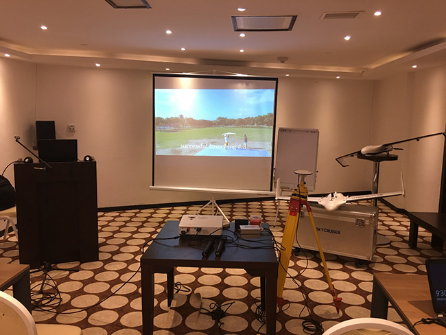
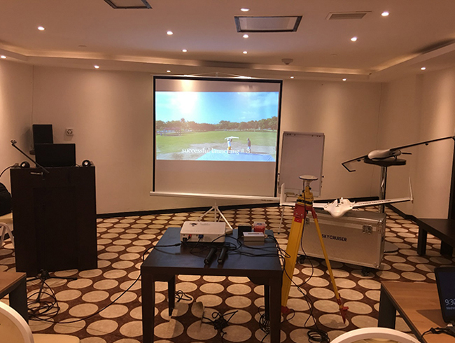
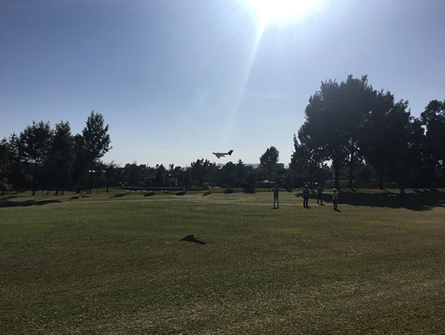
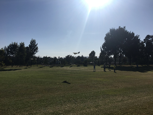
fixed-wing drone SkyCruiser series was ready to take off for this community soon…
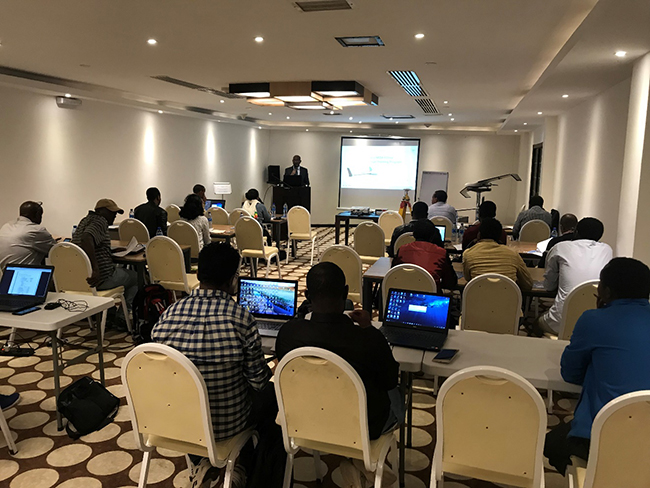
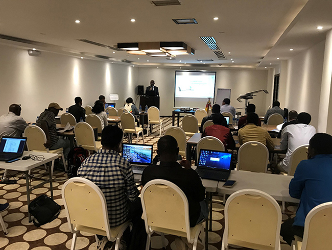
local distributor was giving welcome remarks to all attendants…
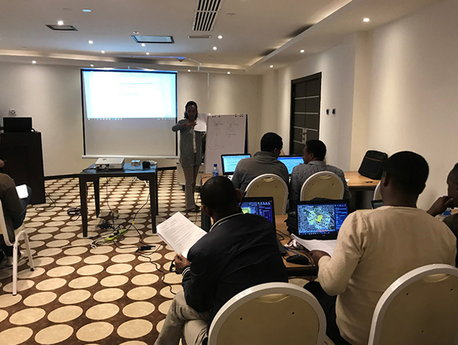
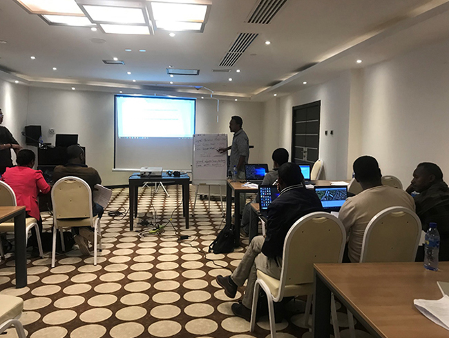
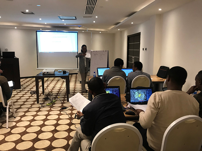
The 8-day training program was made for fresh beginners, which included aerial photogrammetry fundamentals, UAV market knowledge, drone operation fieldwork and data post processing, and hardware maintenance routines. The trainees, consisted of the staff from several government sectors, showed big interest in this new mapping tool and they were supposed to have learnt a lot through such an intensive training. Shortly after the training courses, the SkyCruiser FLYme would be put in use for their aerial survey projects.
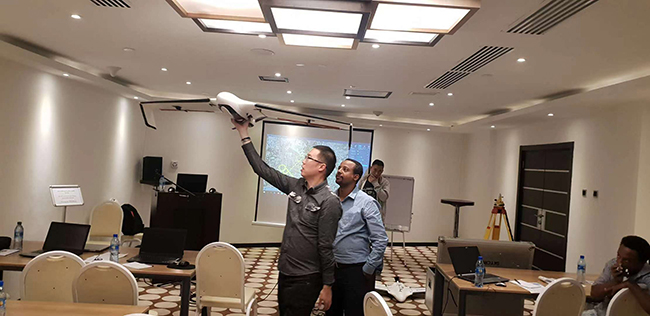
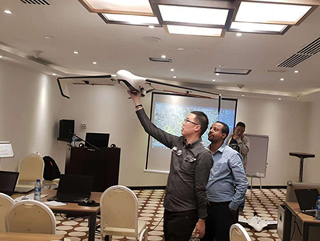
product manager was demonstrating how the drone works for photogrammetry…
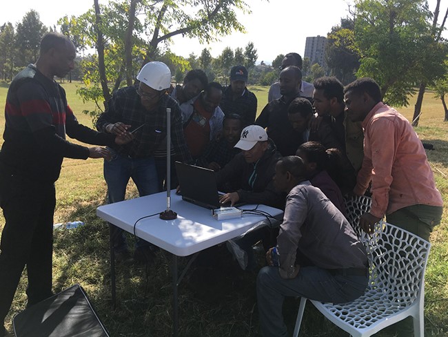
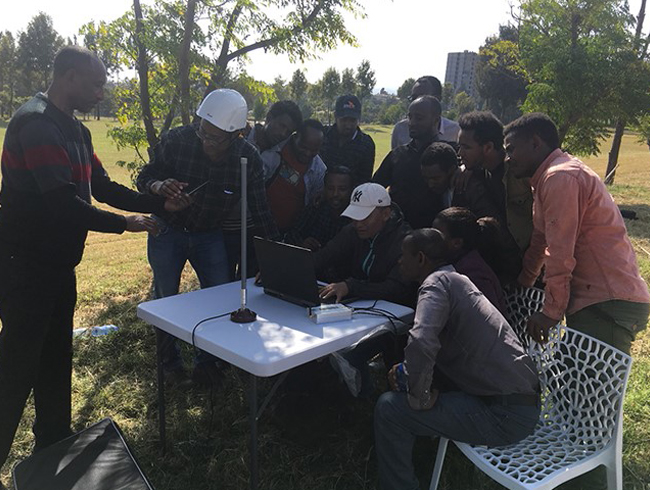
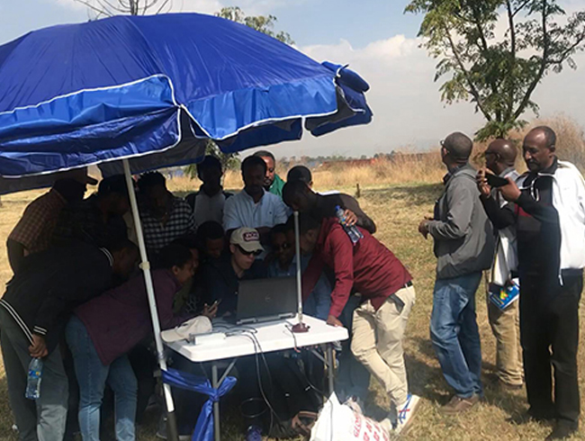
UAV pilot was showing ground control station software operation in the site…
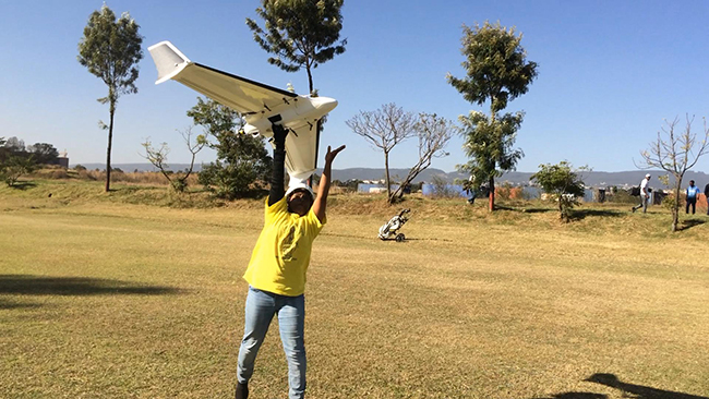
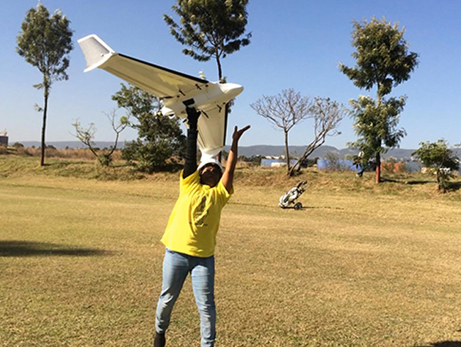
hand launching for drone take-off…
hand launching successfully done by a female pilot trainee!
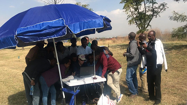
checking the realtime display in GCS software during the mission…
UAV photogrammetry has been one of the ever-evolving technologies in the geo-spatial industry in the past few years. Especially, in those inaccessible areas or prohibited zones, drone mapping will provide a great helping hand at an incredible aerial efficiency compared with conventional equipment for ground measurements. Still, drone users, actually the surveyors with engineering purposes, might even expect dynamic and graphical productions in the format of mass data and large coverage, which are much more attractive and impressive than the regular outputs simply with points, lines and polygons.
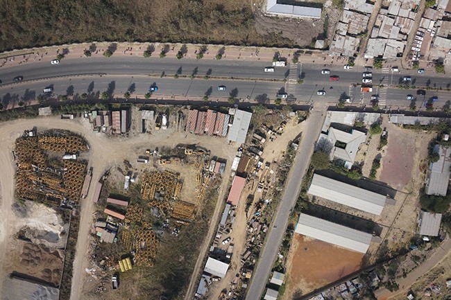
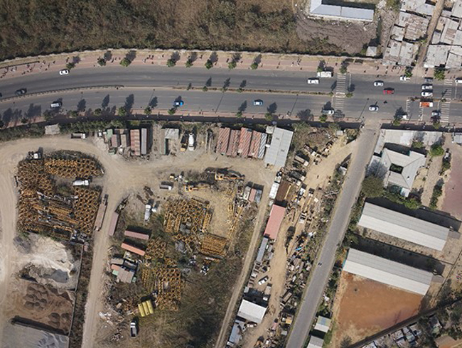
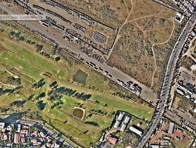
raw data captured at the flight altitude of 233 meter
part of the TDOM output
As usual, the manufacturer would like to deliver the information of modern technologies and equipments as much as possible to the market. Sharing brings fun, and definitely it has been a productive event that everybody enjoyed and benefited from as expected.
one of the trainees was trying to convert her understandings by simple drawing…
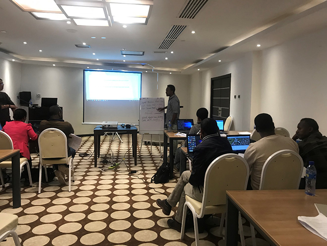
another trainee was sharing his knowledge in the workshop section…

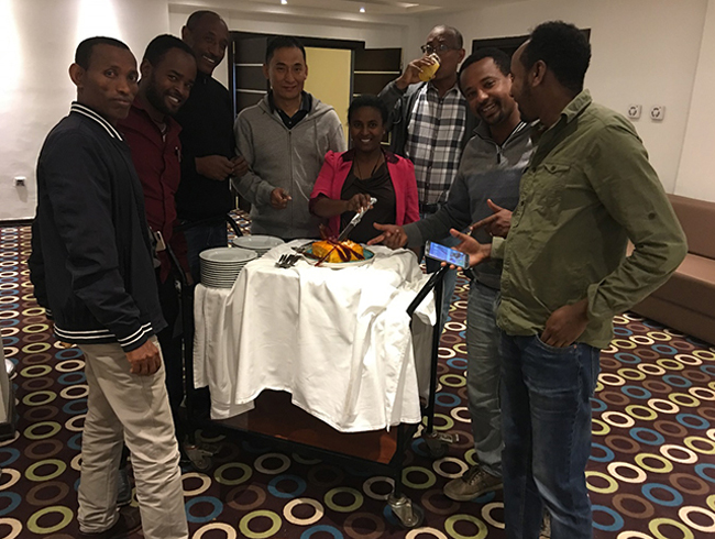
celebrating for a perfect ending…


