


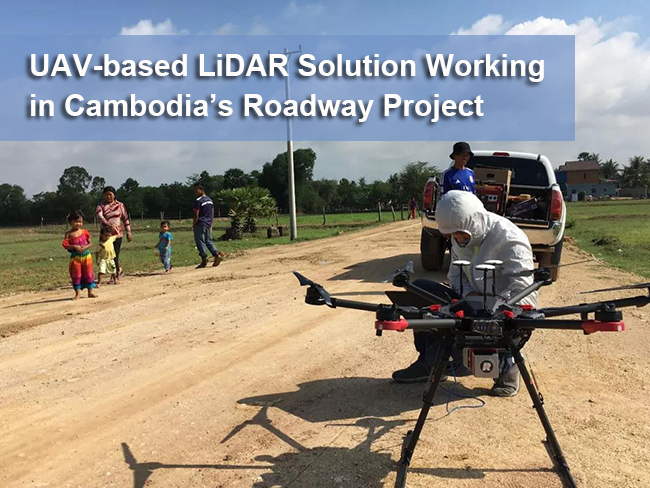
Roadway network system is the key infrastructure among all to any country, and in recent decades, China government is sparing no efforts in assisting plenty of sister countries for such fundamental developments. Now, a number of aided projects are running in Cambodia and Z-Lab LiDAR team is working hard in the initial planning of highway construction.
On May 6, our SZT-R250 got started with this task. It’s a typical revolutionized product featuring high precision, light weight and survey grade. Job details are as follows.
Job location: area between the capital, Phnom Penh, and Sinuhak city
Survey zone: 120km corridor mapping, with 100m strip width
Terrain condition: tropical rainforest zone, mostly flatland and 20km hilly area
Job target: initial fundamental mapping ahead of construction engineering
Job difficulties:
It’s a big challenge to survey in the rainforest with the conventional equipment. It’s estimated to cover 4km per day by a 5-man group, which is far less effective than expected. And the wild animals inside the forest will be a potential risk for the survey team.
The climate in rain season there is known to be highly variable and the lightning height is usually very low. It’s not a good choice to use helicopter-based LiDAR for long hours, as it might be easily influenced by the flash and clouds. The safety issue of pilot and operator shall be taken into consideration in this case.
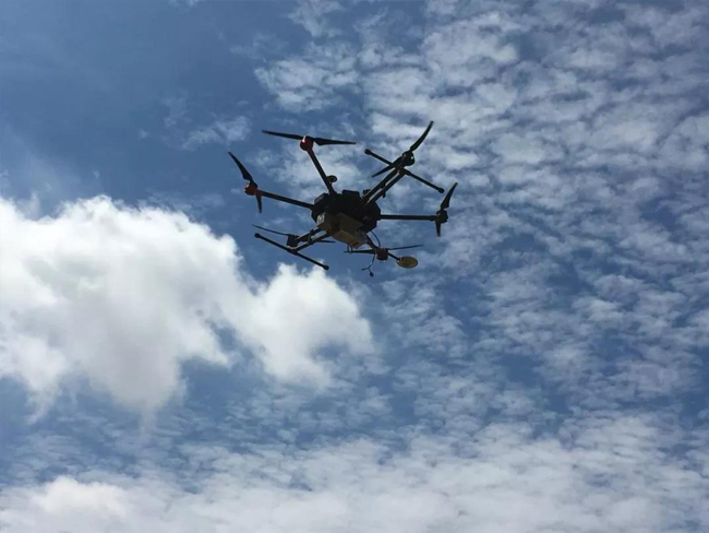
Solution: UAV-based LiDAR SZT-R250 Package
2.1kg only, working range up to 250m
Industrial-level multi-rotor platform, easy to operate
High flexibility, adaptable to realtime weather and actual terrain
3-5km measurements per flight, approx. 8 days to accomplish the whole data capture
Surface point cloud separation estimated to be done together in those 8 days as well

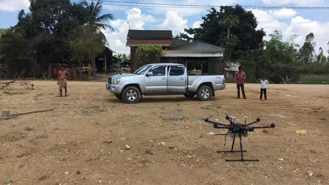
Initializing…ready to take off

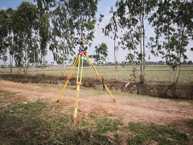
Base station setup


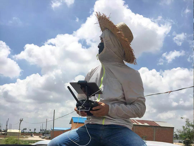
Aerial scanning and data capturing…


