


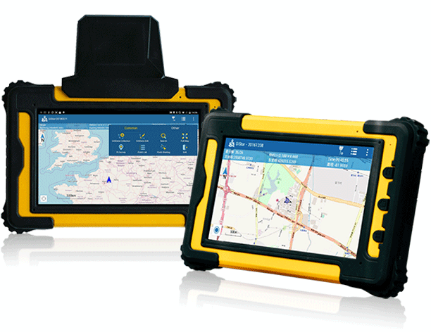
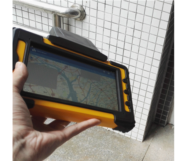
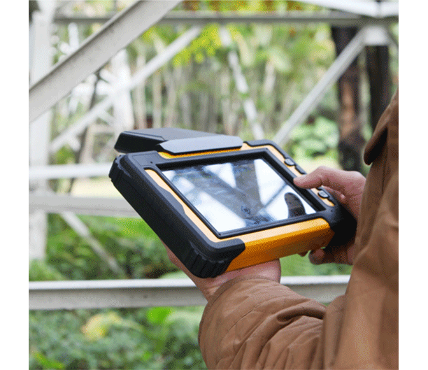
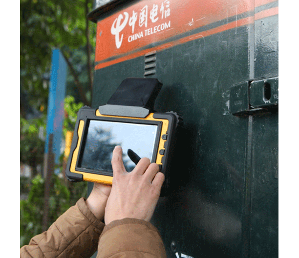
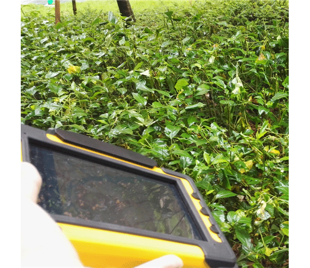
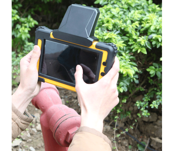
Desiring to work with an incredibly powerful, high precision and large display Android tablet? SOUTH has released its latest Android GNSS tablet: S550P/S560P, a new product designed for extreme field work, and features high-accuracy GNSS module that achieve centimeter accuracy, with a 7-inch display to make GIS collection easy and visible.

Android OS platform tablet
SOUTH S550P/S560P tablet adapts Android 5.1 , and equipped with a 1.5G 8-core processor, internal 3G RAM and 32GB flash memory, also support 128G TF card extension, providing a vast opportunity for professional software. SOUTH GIStar, SurvX, and other third-party or custom-developed apps, to fulfill kinds of requirement from different customers .


High accuracy GNSS module
The built-in high accuracy GNSS OEM board and antenna provides spatial GIS data with up to centimeter level positioning accuracy in real-time, and supports GPS, GLONASS and BDS constellations. Plus, it takes advantage of SBAS augmentation where available.

Multiple sensors module
Integrated speaker, microphone, speed sensor, electronic compass, light sensor etc. WIFI, 4G network module, micro USB, standard Bluetooth, other optional module.
Large display and big capacity battery
High resolution 7 inches LVDS display, being suitable to use under strong sunlight; intelligent power saving Multi-Touch screen, supporting stylus. Ruggedized with a daylight readable display and user replaceable and rechargeable 7200mAh Li-ion battery, so you can collect and share accurate GIS data, in any weather, all day long.
Professional GIS application solutions
1. Land and resource: cadastral survey, resource exploration, mining

2. Electric power industry: GIS data collection, power patrol inspection

3. Civil engineering: public facilities survey, the municipal pipe GIS data collection

4. Agriculture and forestry: the agriculture and forestry resource survey

5. Public security: security GIS data collection


