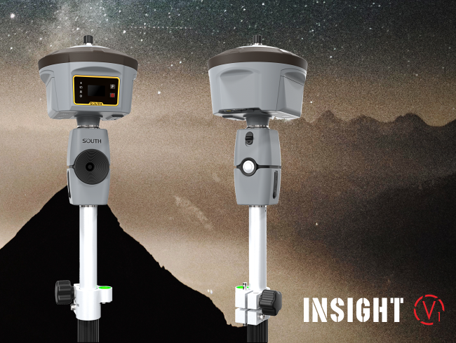
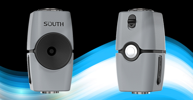
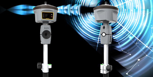
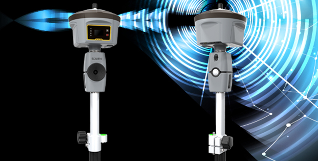
With the development of measurement technology, GNSS satellite positioning technology is gradually integrated with optical measurement and photogrammetry. After years of technical accumulation, SOUTH launched a magical instrument “INSIGHT V1” which combines with RTK receiver to constitute an image measurement system. It can quickly acquire those points where RTK receiver cannot directly reach, or the place where there is blind area of satellite signals. It provides a more complete measurement solution for field measurement.
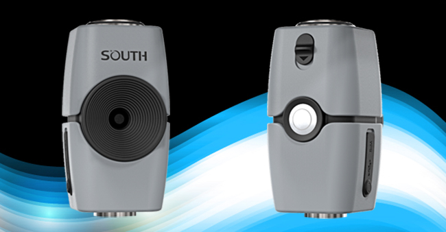
The system combines GNSS satellite positioning technology, photogrammetry technology, and the point cloud processing technology. Generally, we use INSIGHT V1 to shoot at least three pictures for the same target point at different locations, and quickly establish the connection between the images and the locations through SOUTH Cloud backstage, then use the point cloud technology to process the images online, after that we can directly obtain the target point coordinate information on controller software on the returned pictures.
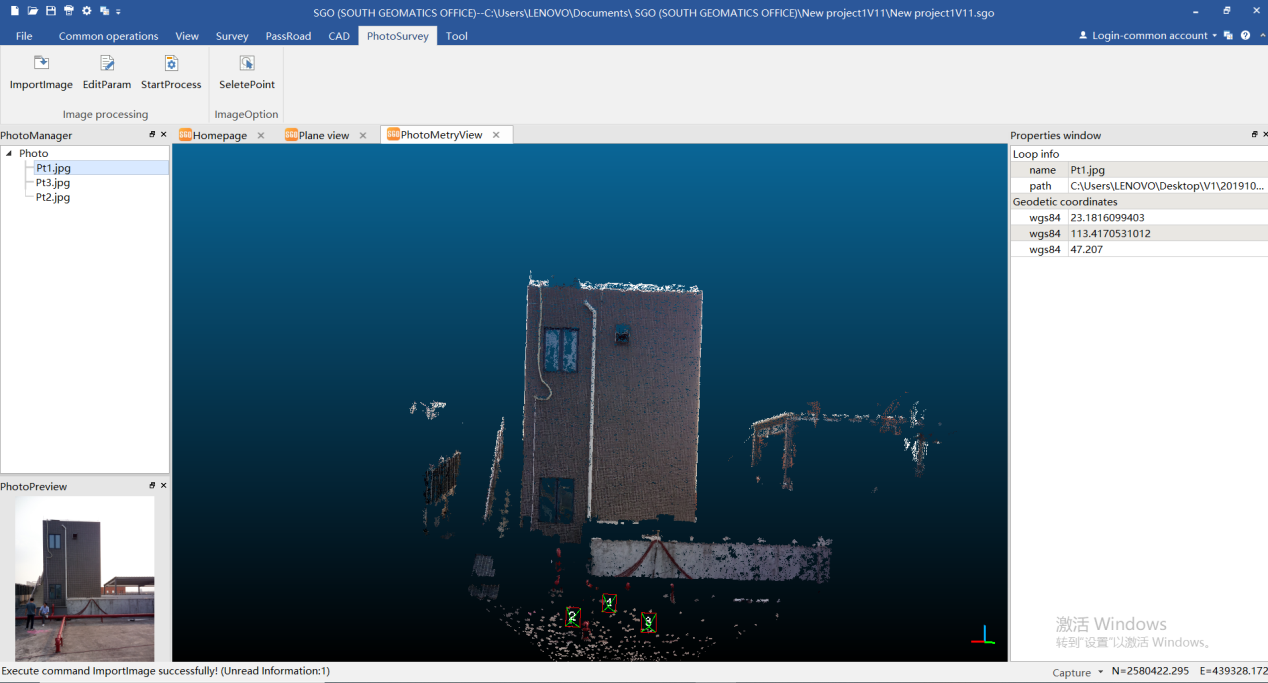
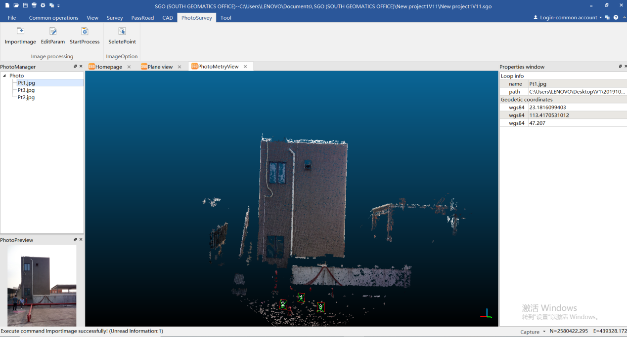
Processing images is also supported on office software, SOUTH SGO(SOUTH GEOMATIC OFFICE) software. This brings you convenience and flexibility for processing images after field works, escapes from the place where the network signals is poor, and upload target pictures to cloud backstage.
The typical measuring accuracy of Insight V1 image measurement system can be less than 5 centimeter due to distance between instrument location and the target. The farther distance to target point from V1, the lower accuracy of target coordinate. Therefore, the typical distance from Insight V1 to target is within 20 meters to ensure the accuracy.


