Dams are one example of the increasing pressure on river services. Mostly, dams are built to gain hydropower, but they support also the creation of fishponds or, in dryer areas, irrigation of agricultural land. In many regions of India, dams and reservoirs are used to secure irrigation of agricultural land. Therefore, regular survey or even monitoring of the dam areas is of high significance to the local authorities. This time, the people in the story were using UAV-based LiDAR, Z-Lab SZT-V100, to conduct the survey work, as they wished to have the topographic mapping rapidly done in their project. Mr. Simon Xu, Deputy General Manager of India Office, accompanied the team and assisted them in the site with more sharing, which was highly appreciated by the buyer.


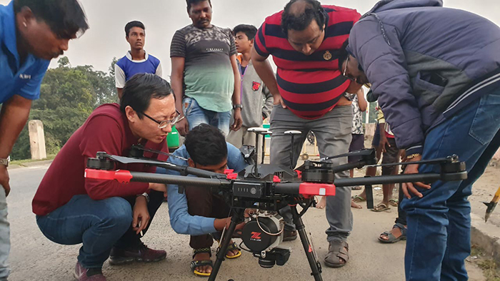
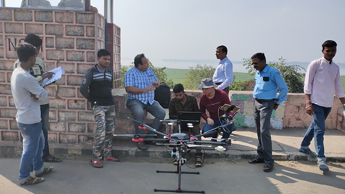
It was the very first job for the users to utilize this new technology, other than their conventional ground measurements with total station and GNSS RTK. Actually, the new devices were delivered to them a couple of weeks ago and they had an intensive training from field to office in October, 2019. After the training, the users were eager to try it in the field and see how much it could improve their work efficiency. 5 flights (from different take-off spots) for data capture in 2 days and almost another 2 days for data processing are what they achieved to complete a 100-hectare polygon in terms of geo-referenced point cloud, orthophoto image, digital elevation model, contour lines and vector line map. The outputs are supposed to provide reference to control the water level and the environmental improvement of the reservoir area for the water conservancy department.
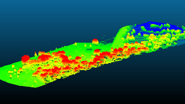
(geo-referenced point cloud generated in software Z-Lab Pt-process)
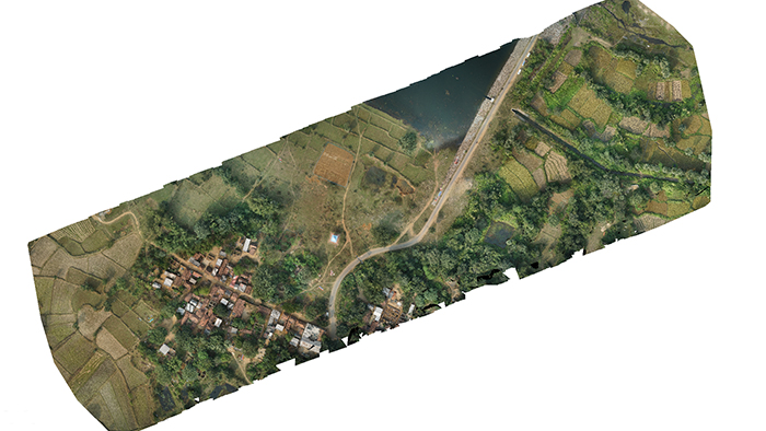
(orthophoto map generated from software SkyPhoto-professional)
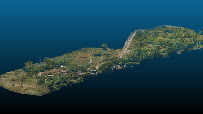
(colorized point cloud generated from software Z-Lab Pt-process)
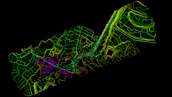
(vector map and contour lines generated from software Z-Lab Mapper)
The team is assumed to continue this way and map all those dam areas nearby with their new survey methodology, aerial laser scanning and lasergrammetric data productions. Being the first time to deal with LiDAR, they enjoyed a very steep learning curve and managed to acquire as much knowledge as possible from the manufacturer during the 9-day training camp held in Kolkata, West Bengal. The productive delivery has well prepared them for the future work. Intensive course training plus in-job guidance would definitely help such LiDAR beginners with quick learnings and practical experience, which is what South is dedicated to.
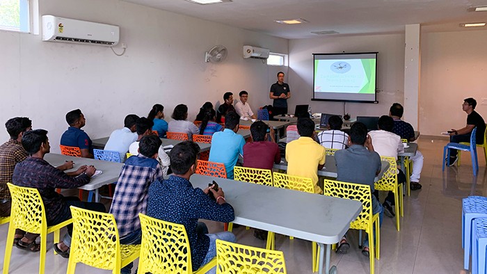
(Mr. Jackie Cheung, LiDAR Product Manager, delivers the fundamentals.)
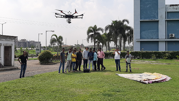
(Trainees practice in the field for more understandings.)
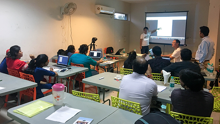
(Mr. Jerry Xie, LiDAR Product Engineer, talks about data processing.)
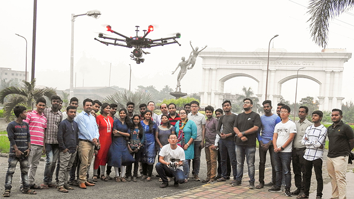
(A happy ending of the training camp)


