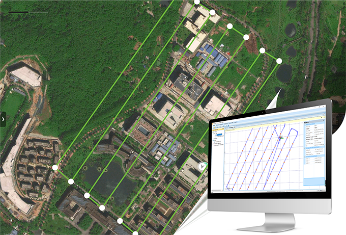
Transforming more tough fieldwork, like GCP (Ground Control Point) measurements, into fast processing is always enjoyable to surveyors. As a specialized GNSS data software kit, SkyLines is engineered to deal with the flight lines and compute precise aerial positional information of drones equipped with an airborne RTK/PPK module (eg. DJI Phantom4RTK, etc.). Corrected with base observations by post differential algorithm, the high-precision aerial positioning data is just a few mouse clicks away, which makes it more productive in the drone mapping workflow. By using this powerful tool, drone users can obtain highly accurate POS (Positioning & Orientation System) data at centimeter level via post processing and may be independent of ground control points for further adjustment in aerial triangulation.
● Why PPK?
PPK, short for Post Processed Kinematic, is a GNSS positioning technique that obtains post differential corrections with carrier phases. Compared with RTK technology, PPK enjoys datalink transmission free, as base station and rover device would just individually store their data records that are post processed after the survey has been completed. This is utilized to improve the aerial positioning accuracy of drones which might find it difficult to obtain RTK fixed solutions during missions especially in case of poor satellite signals or weak datalink transmission.
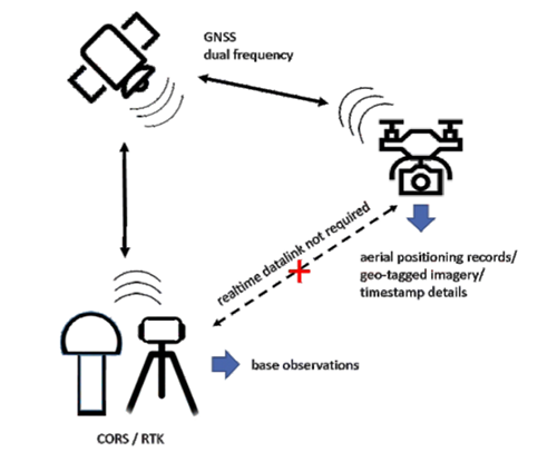
● PPK aeroPOS software SkyLines features largely in,
√ applicable for DJI Phantom4RTK or any other drone equipped with GNSS module
√ intuitive interfaces and optimized algorithm ready for fast processing
√ full constellation options with more operational flexibilities
√ observation file timeline display available
√ suited to post process both static and kinematic GPS data
√ centimeter grade outputs, more reliable than simply aerial RTK positioning results
√ supports WGS84 and local coordinate systems both
√ simplifies drone survey fieldwork by effectively eliminating GCP measurements
√ dongle-free version available for trial use upon request
● Workflow
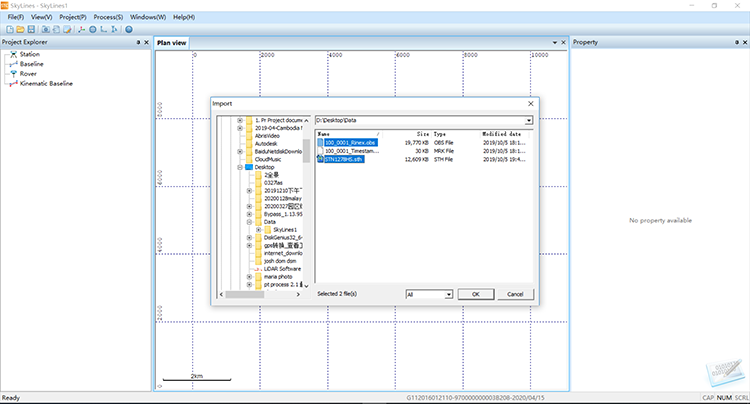
Capture & Import
After the drone flight, prepare the following:
• known point coordinate
• base station antenna height value
• base observation data (from ground base station or CORS)
• aerial positioning data (from the drone)
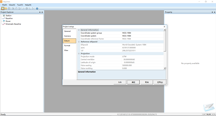
• local coordinate system and projection parameters
Then, follow the instructions and import to software SkyLines.
Geo-referencing & Export
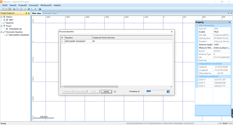
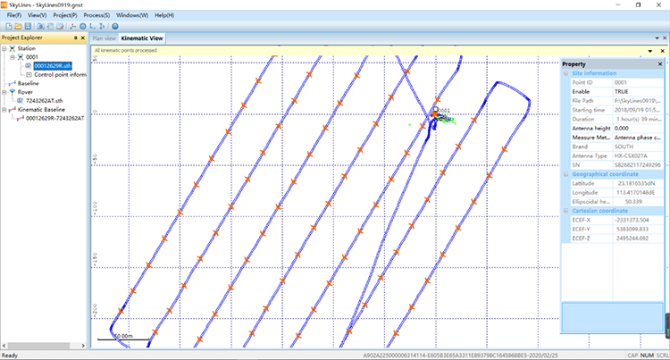
Start PPK computation in software SkyLines and the flight routes would be displayed once the processing is completed. And in a few minutes, export the precise POS data.
Processing & Mapping
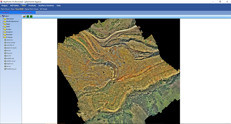
Apply the newly generated POS file with the aerial images to the photogrammetry processing, and produce the orthophoto map. For much higher accuracy, some ground control points shall be considered. The photogrammetry software might be SkyPhoto, Pix4D, PhotoScan or others.
Click http://www.southinstrument.com/product/details/pro_tid/1/id/167.html for more details


