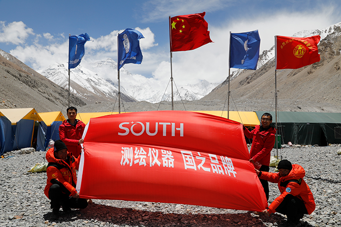
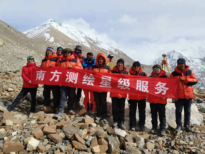
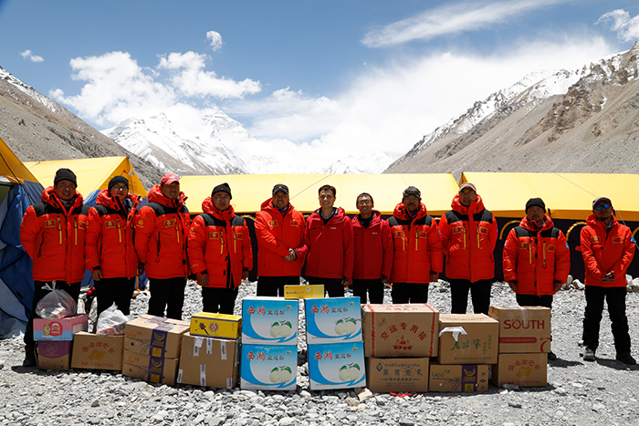
According to the Ministry of Natural Resources, members of a Chinese surveying team reached Mount Qomolangma summit at 11 am this morning. This measurement was jointly organized by the Ministry of Natural Resources, the Ministry of Foreign Affairs, the General Administration of Sports of China and the regional government of the Tibet autonomous region. This year marks the 60th anniversary of the first successful expedition to Qomolangma from the Tibet side and the 45th anniversary of China's first accurate measurement of Qomolangma's height. The measurement is of great significance.
Preparations for this new round of measurements to determine the height of Mount Qomolangma started last year. SOUTH responding to this task positively, and mobilizing group’s technical strength to conquer scientific research problems and successfully complete R&D tasks of main measurement equipment, "Snow-depth radar" and " Reflecting system ".
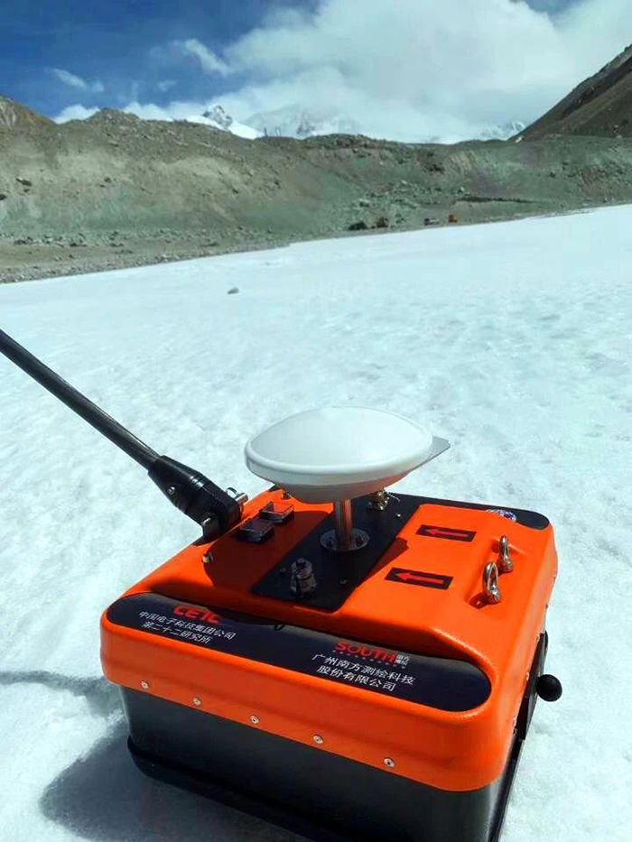
The snow-depth radar mainly uses the antenna to emit and receive high-frequency electromagnetic waves to detect the snow depth on the ground, and the depth is deducted from the altitude of the snow surface at the summit of Qomolangma to obtain the elevation of the rock surface, also known as "The height of Qomolangma ".
Compared with the one used in 2005, this " snow-depth radar" has many highlights. First, lighter weight. Including integrated radar host, transceiver antenna, GNSS, power supply system, storage equipment and other components, the overall weight shall not exceed 5kg. Second, localized radar and GNSS. The radar detection depth is not less than 5 meters, the detection accuracy is less than 5%*D (D is the detection depth), and GNSS can locate and record data in real time, enabling continuous operation at -40℃ ultra-low temperature environment. Third, high degree of integration, fully realize system integration within the radar, and realize time synchronization and position synchronization. Each radar data has corresponding GNSS data and store. Last, the data can be solved faster.
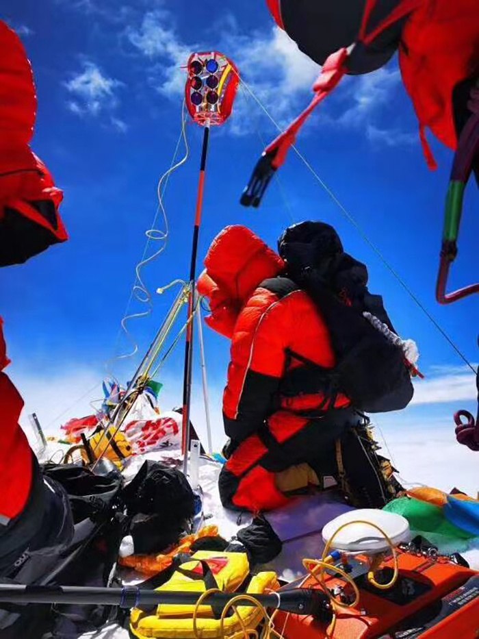
“The reflecting system for measuring the height of Qomolangma should not only be tough, but also be flexible and resistant to breaking under the low temperature of -40 ℃ and a strong wind of level 10," said the person in charge of Changzhou Factory of SOUTH, " It should be light and easy to carry , the team members can easily fold and assemble while wearing heavy gloves."
From the beginning of communication to the final acceptance of product, the manufacturing of the “little” reflecting system has gone through 8 months of polishing. It has two sides, a total of four sets of prisms, can achieve simultaneous measurement of the south side and the north side.
For over 30 years since the company's establishment, SOUTH Group has adhered to multiple scientific research systems, independent innovation, mastering core technologies, realizing the localization of surveying and mapping instruments, and promoting the development of industry informatization. Through continuous scientific and technological innovation and continues exploration in new technologies and new fields, SOUTH has demonstrated strong capacity for R&D, innovation, integrated implementation and service. SOUTH is implementing the strategy of New Geo-info+. It will increase its efforts in the development of high-end surveying and mapping equipment and the application of geographic information in multiple industries.
