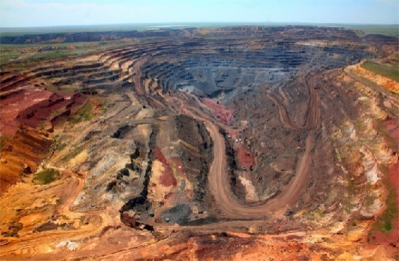
In recent years, this technology has been widely used in the field of monitoring, and slope monitoring is a typical example. Whether it is highways, railways, bridges or open-pit mines, or even many natural disasters, slope monitoring is required. At present, the traditional monitoring technology not only has many safety problems, but also has problems such as difficulty in monitoring, difficulty in covering the entire monitoring area, low degree of data visualization, and long alarm period.
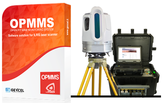
OPMMS integrates advanced ground laser scanner equipment and customized remote-control monitoring software, eliminating the need to deploy targets on site, and can keep workers away from hazardous measurement areas.
The system can remotely control the scanner to quickly obtain rich point cloud data and automatically perform data analysis to detect displacement and deformation and perform automatic overrun alarm. Combined with a powerful data analysis engine, three-dimensional point cloud coloring technology and photo texture technology, it can be in-depth analysis of rock mass joints, slopes, creeps, etc
Key features
1 Multi-level ROI preset and data filtering
The system can set multi-level ROI (key monitoring area), and different scanning parameters for each ROI to accurately monitor, improve monitoring efficiency and reduce data redundancy. At the same time, mask filtering can be defined for the monitoring area to exclude interference items in the monitoring area, thereby improving the overall monitoring accuracy.
2 Configurable monitoring thresholds and alarms
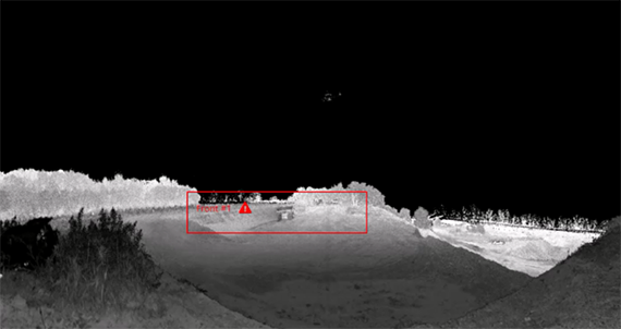
The system supports personalized threshold setting. Different displacement and area change monitoring thresholds can be set for each ROI. Each threshold can be visually displayed with different color gradations to adapt to different alarm levels.
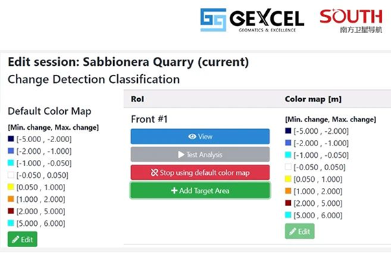
The system automatically detects displacement and deformation. When the monitoring result exceeds the limit, the system will automatically alarm. The alarm method includes email, SMS and alarm, and the function is on demand.
3 Site situation visualization and analysis report output
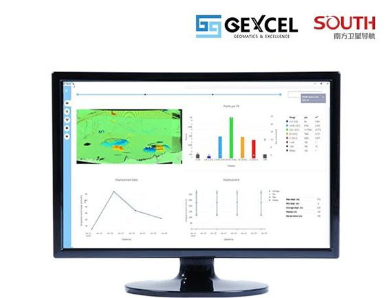
The system not only supports 7/24 uninterrupted monitoring operations to ensure data transmission. At the same time, data processing and analysis will be performed in real time during the monitoring process, and real-time cloud visualization maps, displacement rate charts and other monitoring results will be displayed in the form of time axis. One-click export to achieve overall control of the monitoring situation.
4 Rich data post-processing extension
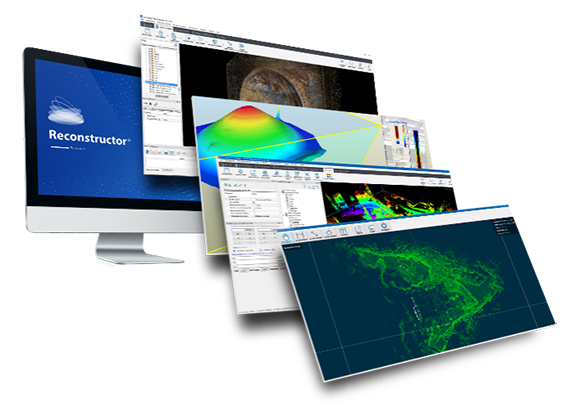
Based on the collected data, professional point cloud data processing and analysis software JRC 3D Reconstructor® can be used for more refined data processing and model analysis.
