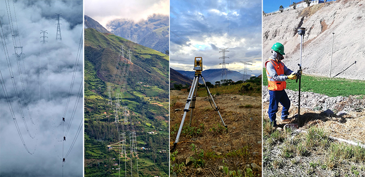
Recently we had an interview with Union Electric SA Peru Branch, who used SOUTH GNSS and Total Stations to develop the Power Transmission Projects in Peru, below are the details:
1. Question: How has the use of SOUTH equipment impacted the productivity of your projects in terms of topographic survey and stakeout?
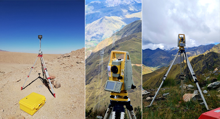
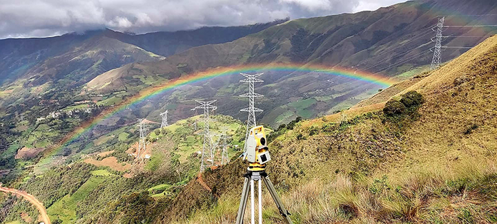
Answer: It has been considerably improved in stakeout since the GNSS equipment provides excellent precision and the applications are easy to use. On the other hand, with the use of total stations, they help a lot for the survey of existing transmission lines and generate their real geometry, providing as a final result modeling in Civil3D software.
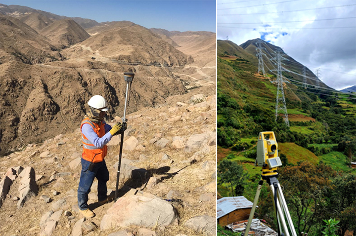
2. Question: Could you tell us a couple of projects in which you have participated, length of the sections, maximum heights above the sea level and topographic conditions in general?
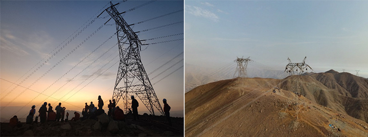
Answer: At Union Electric SA Peru Branch, we have worked with SOUTH instruments on the following projects:
Construction and Assembly Transmission Line - Moquegua – Papujune A 220 kV
Length: 37,517 Km
Altitude: Between 1200 to 3500 meters above sea level
500 and 220 kV link Nueva Yanango - Nueva Huanuco and associated Substations Sector 8.2
Variant of the Transmission Line at 220 kV Tingo Maria – Yaros – Vizcarra
Length: 12.83 Km
Altitude: Between 1800 to 2500 meters above sea level
Variant of the 220 kV Transmission Line Nueva Huanuco – Paragsha
Length: 22.62 Km
Altitude: Between 2300 to 4150 meters above sea level
Variant of the 220 kV transmission line Chaglla – Nueva Huanuco
Length: 22.59 Km
Altitude: Between 2300 to 4100 meters above sea level
Transmission line at 138 kV Nueva Huanuco – Amarilis
Length: 1.91 Km
Altitude: Between 2100 to 2300 meters above sea level
500 and 220 kV link Nueva Yanango-Nueva Huanuco and associated substations
Construction of civil and electromechanical works section T278 to T442 - Sector 2
Length: 63,972 km
Altitude: Between 800 to 3000 meters above sea level
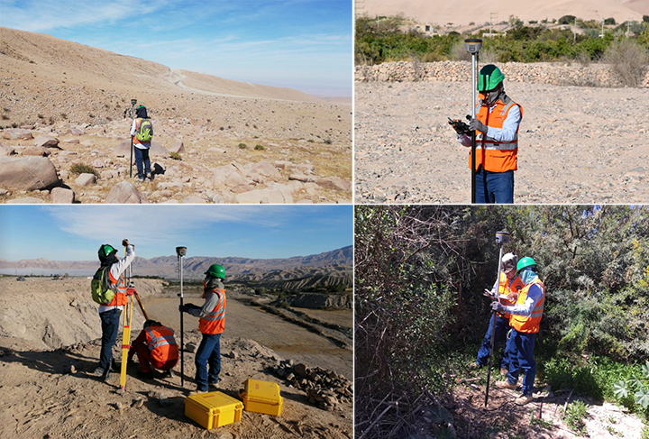
3. Question: What would be the advantage or characteristic that you highlight most of SOUTH equipment?
Answer: The precision provided by the equipment in different areas of Peru (different topography and climatic conditions), the ease and precision of taking points without a prism at distance up to 1000m.
4. Question: Would you recommend SOUTH equipment to your colleagues?
Answer: We have recommended SOUTH equipment to other contractors in the same field, and to the surveyors who currently work with Union Electric SA Sucursal of Peru.
5. Question: Do you expect to acquire other SOUTH products in the future, what type of technology you would be interested in?
Answer: The idea is to continue with the use of new technologies, such as Drones, Laser Scanners, Lidars… for Transmission Line Projects.
