Post-processing kinematic (PPK) survey is important in the harsh environment when the GNSS receivers are not in the cellular signal coverage or the UHF radio signal is disturbed, it is also helpful for surveyors comparing the real-time kinematic (RTK) data with PPK data, to avoid wrong position data, the accuracy after PPK could reach centimeter-level.
SOUTH Geomatics Office (SGO, v20220519 or later) software now supports the post-processing for GIS position and attributes data. By using SurvStar (v20220526 or later) field data application, collecting the GIS data (*.shp) as well as the GNSS raw data (*.STH). After the collection, go back to the office and then process the GIS data and GNSS raw data in the SGO software.
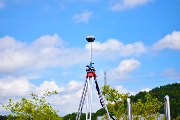
(the reference station for PPK)
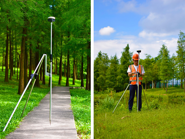
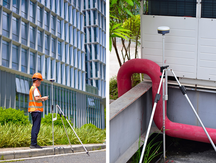
(the GIS position and attributes ppk data collection)
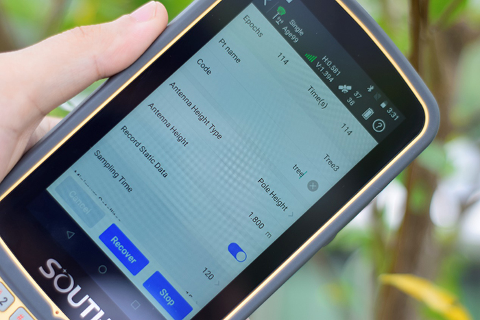
(Survstar ppk collection, version 20220526 or later)
For the post-processing of position data, SGO will process the GNSS raw data and calculate the position coordinate, the results are centimeter-level accuracy. Then it will compare the results with the field data, the one with better accuracy will be saved in the shp files. You can also edit the SHP attributes in SGO.
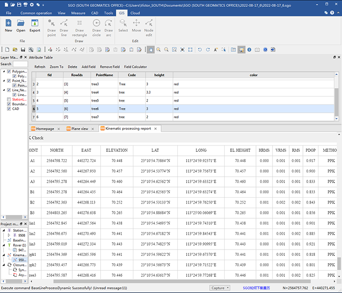
(PPK position coordinate report in SGO, version 20220519 or later)
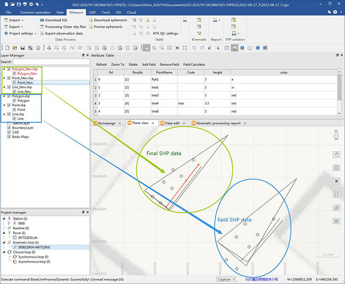
(GIS points, lines and polygons edition and map view)


