(by Jackie Cheung)
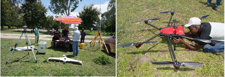
Days ago, 2 delegates from the International Business Division were sent to East Africa for assisting the local distributor to conduct the further training on drone applications that has been regarded as a commitment to SkySolutions end user clients.
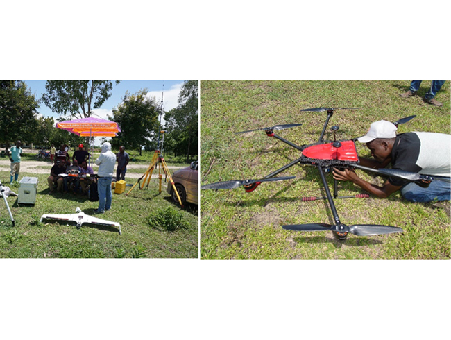
The training, consisting of indoor software processing review and outdoor drone flight practices, lasted a couple of days. UAV aerial photogrammetry has just become a new measuring methodology to surveying and engineering companies in Africa, and therefore more understanding and exercises are a must to all beginners.
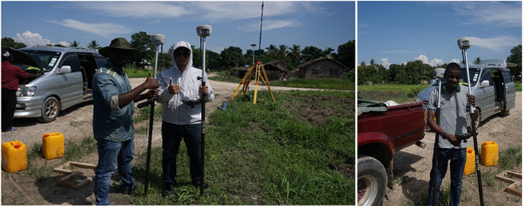
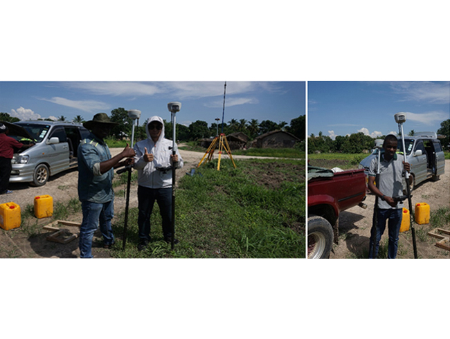
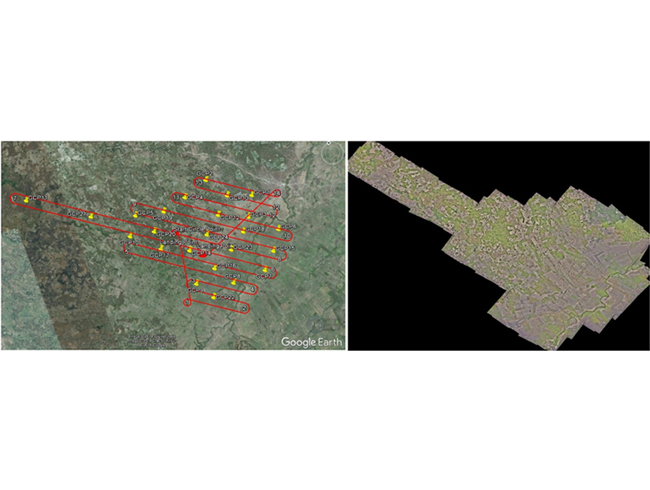
Right now, one of the clients just got an aerial mapping project for land registration and certification. It took the fixed-wing SkyCruiser 40 minutes to complete the data acquisition for a 6 sq.km area with almost 600m flight height and 12cm ground sampling distance. The final output achieved to 10-15cm horizontal accuracy and 30-50cm vertical accuracy with just a few ground control points, most of which were used as checkpoints for accuracy report. In fact, the team got a satisfactory result that could meet the job demand, so all the efforts were well paid eventually.
