- A new powerful tool for 3D data processing -
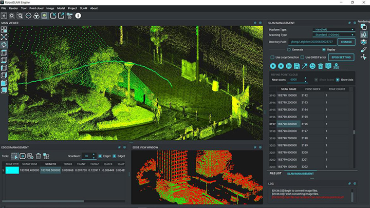
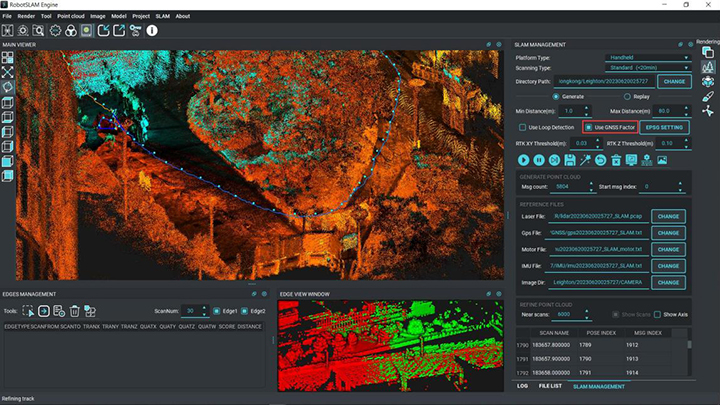
RobotSLAM Engine is a 3D data processing software program developed by SOUTH. With intuitive user interface, simple operation process, fast processing speed, high data accuracy and strong stability, it provides import and export, pre-processing, point cloud analysis, etc. of the lidar point cloud and other data; supports precision report output, point cloud classification, format conversion and other special functions.
Highlights of RobotSLAM Engine software
1. One-key process for data processing and color point cloud data output
- Visualized processing of the data quality

2. Various types of point cloud data to output
- Automatic and manual optimization available

3. Point cloud classification
- Compatible with point cloud applications

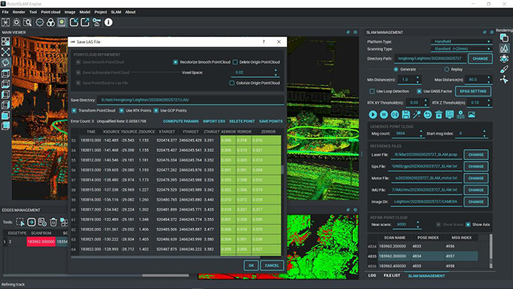
4. XYZ coordinates accuracy verification
- import control point file and generate control report

5. Coordinate system transformation
- direct geo-referencing by enabling RTK in processing

Typical project examples processed in RobotSLAM Engine

- Shoreside Surveying, SOUHTH USV+RobotSLAM mode -

- Stockpile Volume Calculation, RobotSLAM in handheld mode -

- Tunnel Surveying, RobotSLAM in handheld mode -

- Road Inventory E-documentation, RobotSLAM in SUV-based mode -

- House Block Measurement, RobotSLAM in handheld mode -
Software trial is always welcome. Any feedback and suggestions are highly appreciated. Please talk to your local dealer or sales contact for more details.


