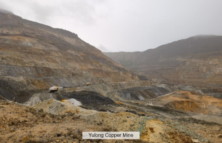
Yulong Copper Mine in Tibet is a large copper deposit. Located at an altitude of 4,569 - 5,118 meters, it has a harsh climate. It belongs to a semi-arid and extremely cold alpine region. Despite the extremely difficult conditions, it is rich in resources. As of 2023, it has copper ore resources of 855 million tons and retained copper metal reserves of 5.5828 million tons.
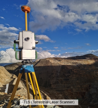
Lidar can quickly and accurately obtain three-dimensional spatial data of open-pit mines. By emitting laser beams and receiving reflected signals, it can scan large areas of mining areas in a short time and generate detailed point cloud data. There is a TLS (terrestrial laser scanner) on the mine. Due to the large size of the mining area, high altitude and relatively long preparation time for work, it takes three days to scan the entire mining area.
What could be done to obtain data more quickly?
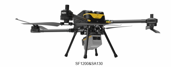
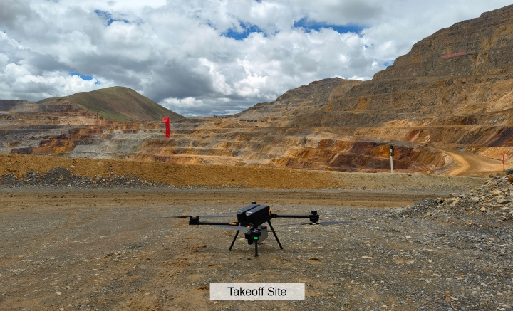
We brought the UAV SF1200 and the long-range airborne LiDAR SA130 for data collection. In the high-altitude and windy environment, the UAV completed the collection task perfectly.
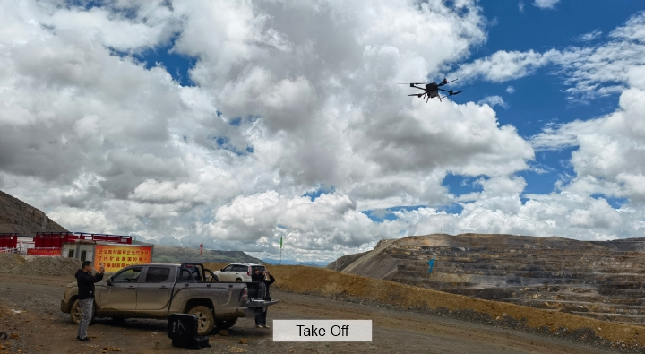

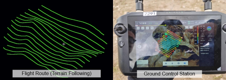
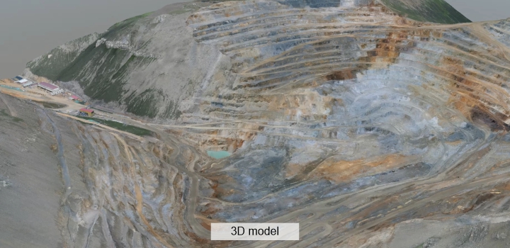
The SA130 is integrated with a camera module, so we can obtain RGB data and point cloud data simultaneously. After post-processing by software, we obtained DOM, DEM and 3D model data. Since it is an open-pit mine, point cloud classification is very easy.
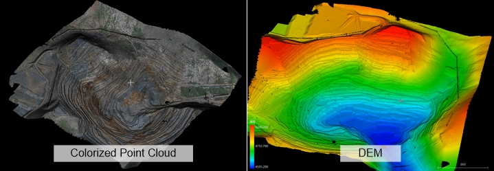
The collected DEM was imported into the volume calculation software for two-phase comparison and calculation.
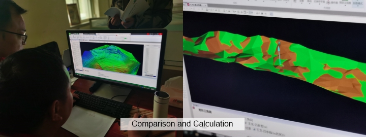
Through this project, we found that using the airborne LiDAR method was much more efficient than the TLS (terrestrial laser scanner). This fully demonstrated the strong environmental adaptability of the drone SF1200 and the long-range accuracy of the SA130 airborne LiDAR.
