Ground-based, interferometric, synthetic aperture radar (GB-InSAR) has been successfully implemented for the monitoring and assessment of both natural and man-made slopes, dams, and mining. Its advantages include high-frequency data acquisition and high spatial density, providing maps of displacement.
Application 1
Contactless monitoring solution of GB-InSAR, it is perfect for the secondary disaster monitoring. We knew that when the landslide already occurred, people are very dangerous if they climb on the slope for some monitoring devices installing (like below picture), But we need to monitoring the stability of the slope/buildings for some emergency rescue action. What is the best solution for it?
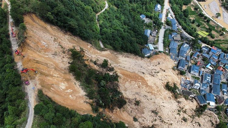
The one of the best solutions is GB-InSAR:
No secondary damage, without monitoring device installation
No surveyors are in dangerous when surveying
Quick installation and simple use
Some pictures of GB-InSAR working at an emergency rescue action
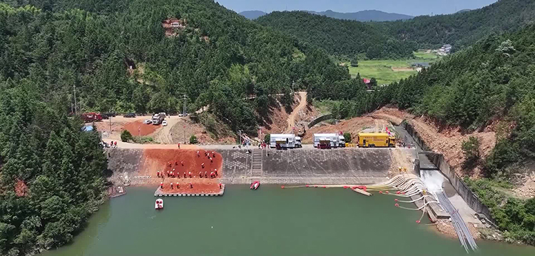
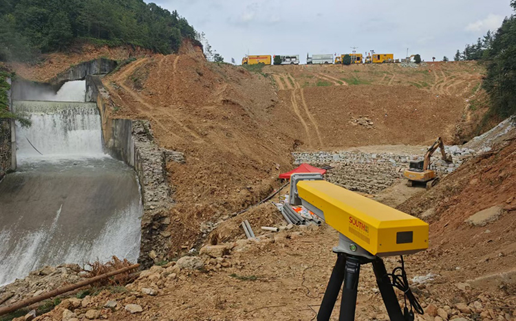
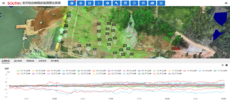
Application 2
Below advantages are awesome for mining and slope monitoring.
Real-time: a few minutes per result
High accuracy: sub-millimeter
Full coverage: Horizontal 360°,Vertical: 60° visual coverage
Long distance: More than 3KM measurement range
Mining and Slope monitoring
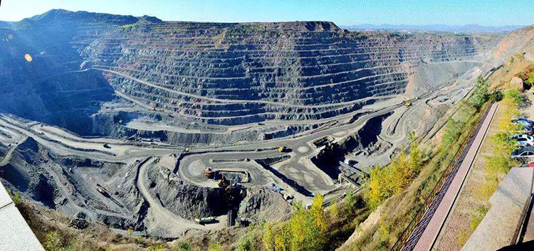
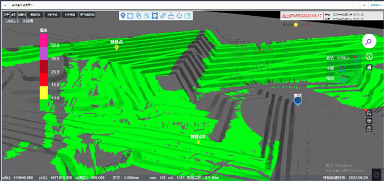
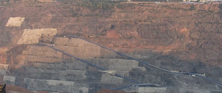

There are the key parts of RD3000 solution of GB-InSAR:
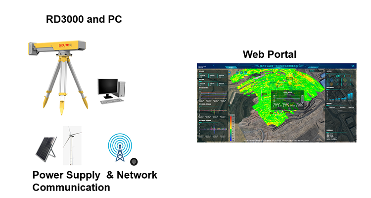
RD3000 Key Spec:
• Scan Angle: H. 360°, V. 60°
• Measuring Range: 6 km
• Deformation Accuracy: 0.1 mm
• Angle Resolution: 4.5 milliradian
• Space Resolution: 0.125 * 4.5m @ 1KM
SMOS web portal features:
• Display real-time and history data
• Alarm function: set alert value, when trigger the alert value, Web portal will send email or SMS to the manager
• Support customized report export
• Support the third part API synchronization


