Unmaned Surface Vehicles
Echo Sounders
Side Scan Sonars
Acoustic Doppler Current Profilers
Total Stations
Electronic Theodolites
Digital Levels
Automatic Levels
Handhelds Distance Meters
Prisms/Tripods/Poles/Staffs...
Mapping Drones & Payloads
UAV Applications
Terrestrial Laser Scanners
LiDARs
SLAM LiDAR
Satellite Imagery
Automatic Deformation Monitoring Systems
Environmental Monitoring Systems
Relevant Sensors
VR Simulated Surveying Training Systems
Auto Steering
Track Geometry Measuring Trolley Systems
Automated Tunnel Scanning & Inspection Systems
Features
Specification
Five New Features
— To Give You More Productivity
S805, the New Pop Star
Save Weak Signal
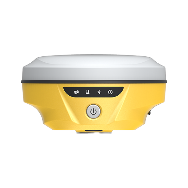
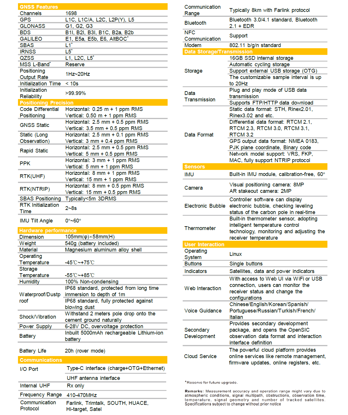
SOUTH S805 has 1698 channels to track more satellites and weak signals.
The success rate and speed of obtaining a fixed solution has been greatly improved. Under the dense forest and surrounded by buildings, it just takes tens of seconds to get a fixed solution.
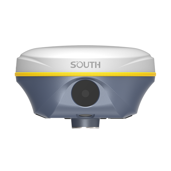
Dual Camera AR Stakeout
Extra Convenience
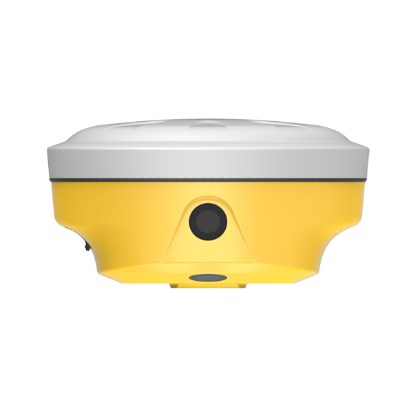
Insight V4 allows you to use both of front camera and bottom camera to stakeout points, lines, curves.
The AR guideline on controller app will indicate you to go to the correct direction since you are tens of meters away from the target.
The 5th Gen. IMU
New Experience
The latest update of IMU effectively eliminates the loss of Inertial-Measurement-Usable Status in the majority of scenarios, enhancing IMU availability and productivity.
During AR stakeout, visual positioning and 3D modeling collection, you can walk at your own pace without worrying about losing IMU, making workflow smooth.
Dual-Engine GNSS
Positioning Algorithm
Unlike traditional GNSS receivers, the Insight V4 is equipped with two different positioning algorithms.
When users encounter inaccurate VRS RTK positioning due to unusually active ionospheric conditions, they can enable the second set of algorithms in the software to correct errors in real-time and improve measurement accuracy. (by selecting Enhanced Positioning Mode in the SurvStar app.)