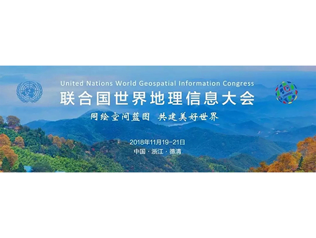


The 1st United Nations World Geospatial Information Congress was held recently in Deqing, Zhejiang Province, China. This international event was organized by the United Nations through Statistics Division as the UN-GGIM Secretariat, in collaboration with the Government of China through the Ministry of Natural Resources and the Government of Zhejiang Province of China, from 19-21 November 2018. It was attended by over 1200 representatives and 218 well-known exhibitors from more than 100 countries. At the same time, it holds Technical and Application Exhibition, focusing on the latest achievements in geo-information technology and applications at home and abroad, and is open to the public from November 22nd to 23rd.
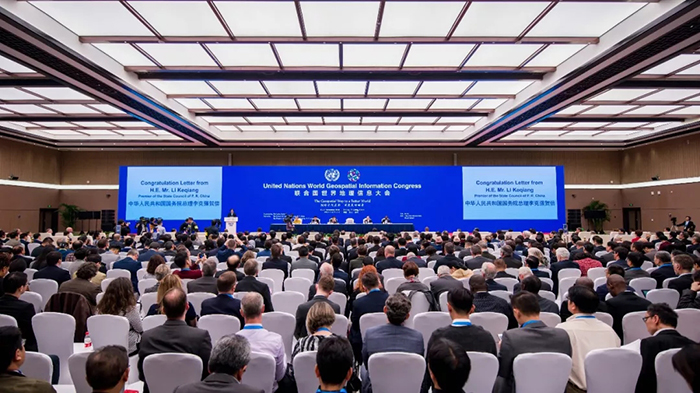
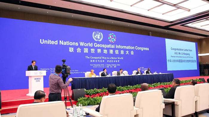
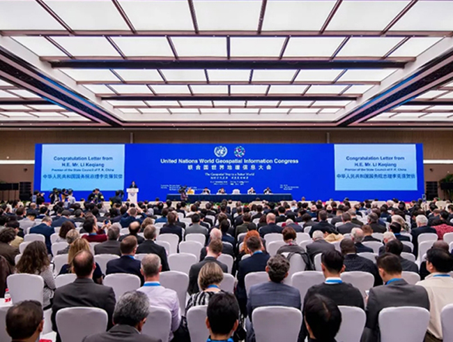
Lu Hao, Minister of Natural Resources, read a congratulatory letter from Premier Li Keqiang of the People's Republic of China and delivered a speech
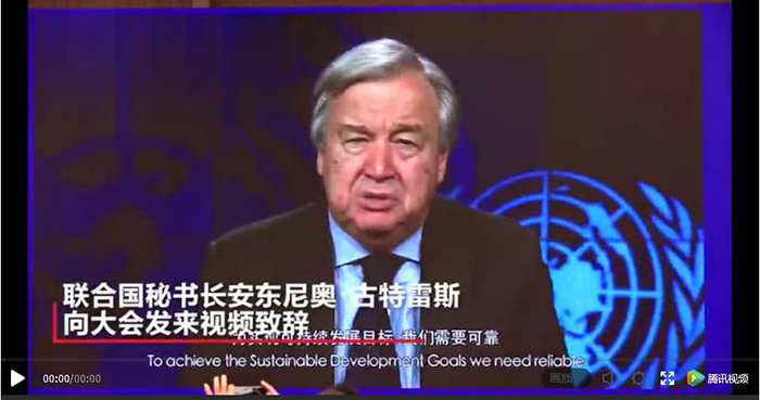
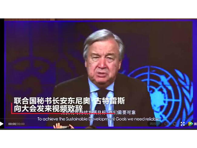
The UN Secretary-General Guterres sent his regards by video
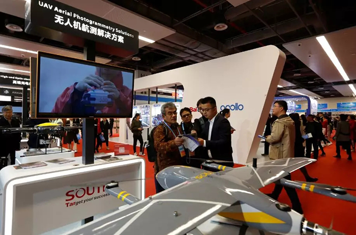
On November 19th, CCTV News broadcasted a 23-second report on the opening of the United Nations World Geospatial Information Congress. The “National Brand” -- SOUTH, was the only brand company in the report.
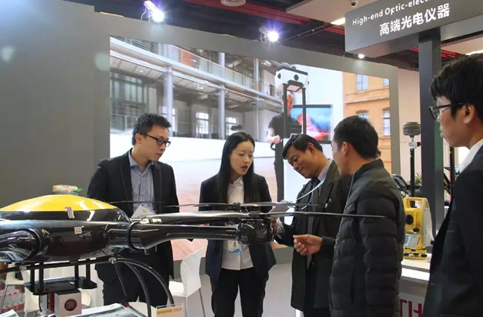
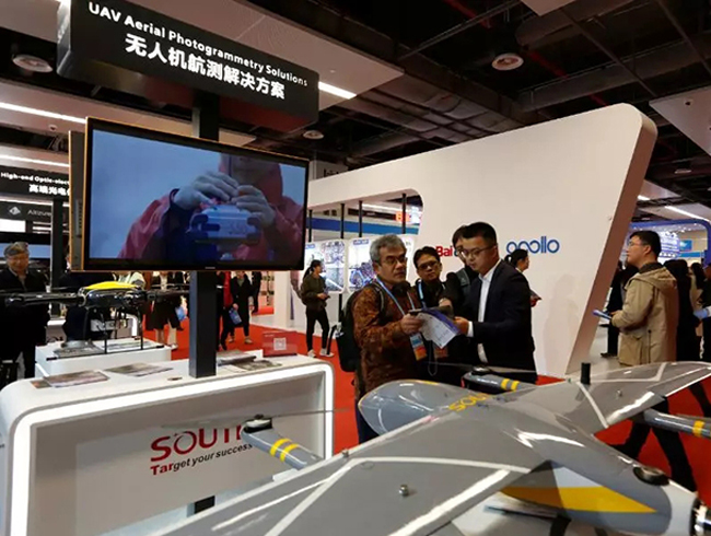
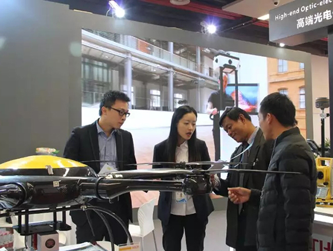
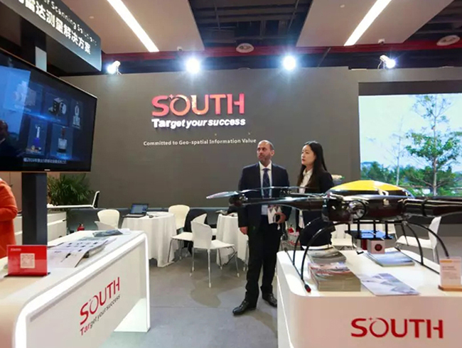
SOUTH has comprehensively demonstrated advanced and high-end products and solutions in the field of surveying and mapping, including UAV aerial photogrammetry, 3D mobile laser scanning, indoor positioning and navigation, as well as high-end optic-electric instruments and Beidou high-precision GNSS positioning system.
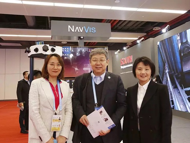
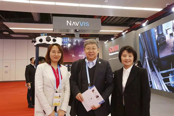
At the same time, SOUTH invited NavVis GmbH, Everest Innovation Technology Limited and Schneider Digital Josef J. Schneider e.K. to participate in the exhibition, showcasing the world's only end-to-end indoor digital solution, the world's largest UAV aerial landscape 3D platform Altizure.cn and 3D Multi-screen display 3D Plura View.
The latest products and solutions of SOUTH attracted many participants.
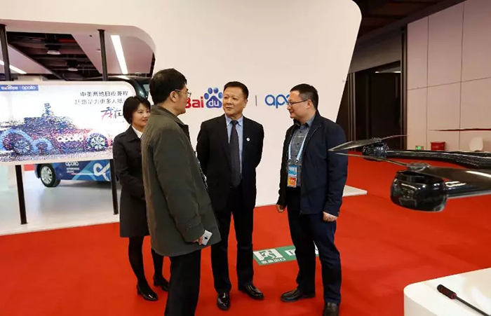
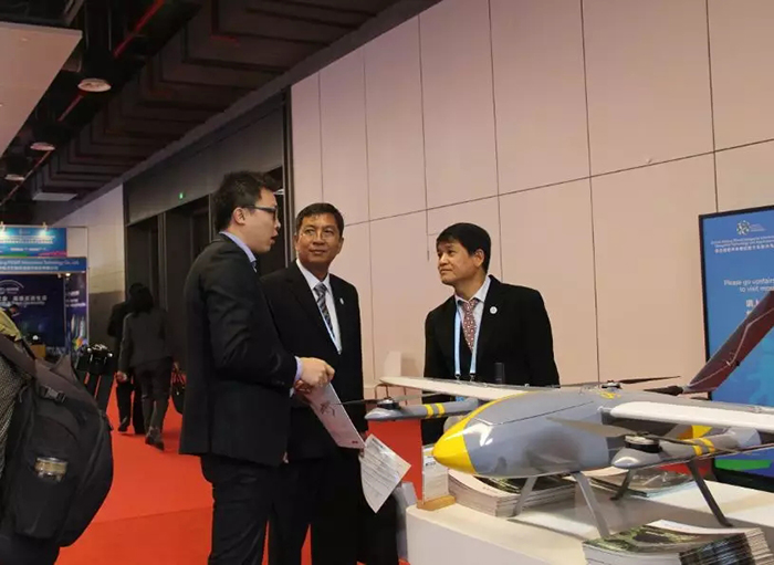
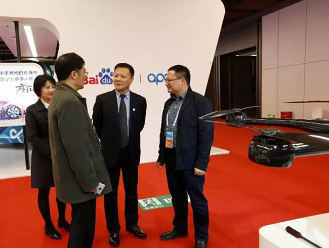
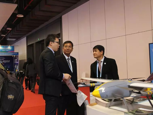
Song Chaozhi, Chairman of Chinese Society for Geodesy, Photogrammetry and Cartography(CSGPC) visited the South Booth
Academician Li Qingquan, President of Shenzhen University
As the leader of China's surveying and mapping development, SOUTH has been working in the international market for nearly 20 years, and its products are exported to more than 100 countries and regions around the world. We own large purchase orders from the Myanmar Agriculture Bureau, the Russian Space Agency, the Philippine Land and Resources Bureau, the Indonesian National Land System, the Thai University and the National Land System. And today, SOUTH has become a business card of surveying and mapping in China for the world.
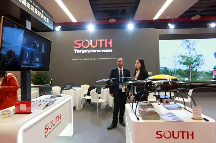
SOUTH BOOTH: