According to the actual needs of social development, Shijiazhuang City Natural Resources and Planning Bureau decided to carry out the "Shijiazhuang City Basic Control Network Construction" project. The main content is to re-establish Shijiazhuang City's B-grade GNSS control network based on the original control network points, and establish the C-grade leveling control network in the city. This project is implemented by SOUTH Shijiazhuang branch team.

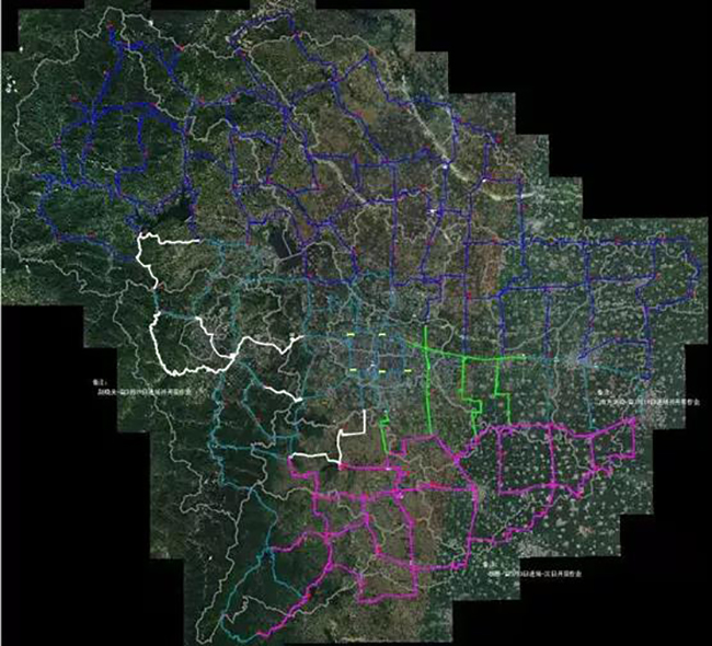
Project implementation area in Shijiazhuang City
The C-grade leveling control network is based on the requirements of national C-grade leveling observation, measured from B-grade GNSS control points also A and B-grade leveling points. The survey area is about 13,504 sq.km. The total route It is about 3,200km long. The project started in March 2021, and the survey is expected to be completed in June.

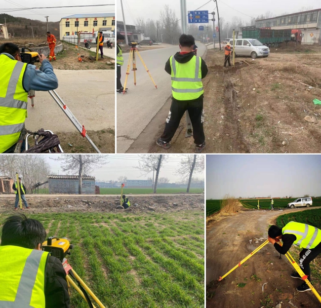
Daily field work from the different route
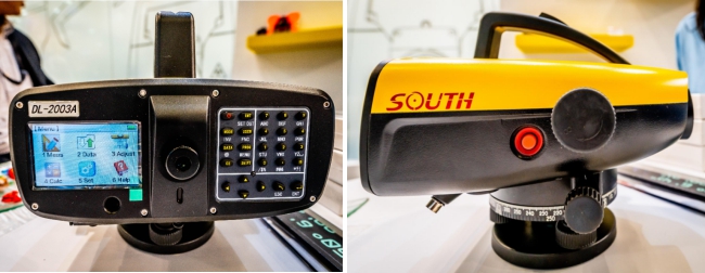
SOUTH Shijiazhuang Branch uses the high-precision color touch screen digital level DL-2003A to perform the C-grade leveling control network. With an accuracy of 0.3mm/km, which is far higher than the project requirements, it greatly improves the quality and speed of the survey in field. During the measurement process of the project, there are 8pcs DL-2003A working together, starting from different control points (80pcs known A and B-grade leveling points), and finally completing the whole C-grade leveling control network.

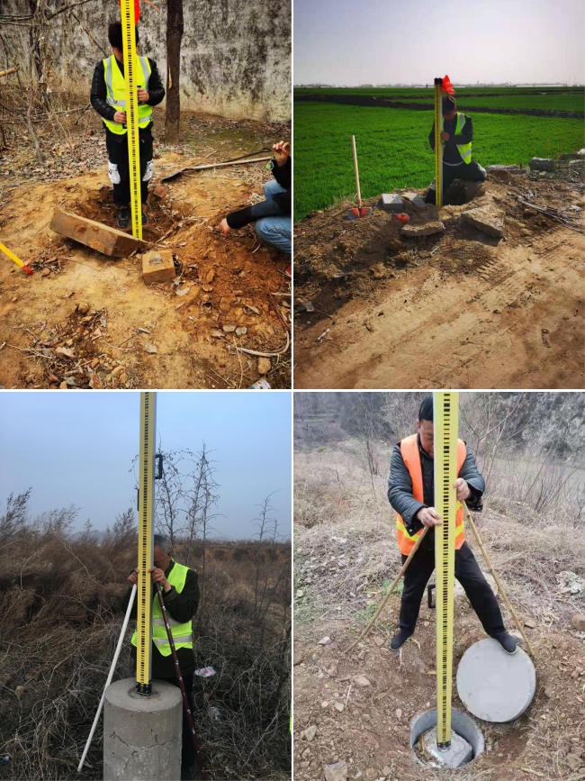
Measuring from known A and B-grade control points
SOUTH DL-2003A has built-in line mode and tolerance according to the national standard. The user can directly select the C-grade line leveling measurement in the menu, without complicated operation, convenient and fast, then use own developed software to carry out inspection, extraction, sorting and calculation on the observation and record of all the original data, which greatly improves the data processing speed and accuracy, finally enters the data results into the Shijiazhuang City basic geographic information database as required.

Main features of SOUTH DL-2003A
1. Elevation measurement accuracy: ±0.3mm (round trip closure error per kilometer);
2. Measuring range: 1.8m-110m;
3. Electronic bubble image display, over-limit compensation alarm;
4. Display: color 400×240 pixels, touch screen;
5. Memory: 128Mbit memory, which can store 150,000 points;
6. External storage: U disk;
7. Communication interface: Bluetooth, RS-232;
8. Measurement mode: elevation measurement, stakeout measurement, line measurement, Bluetooth/serial port measurement (used with third-party software);
9. The line leveling measurement have built-in tolerances according to the national standard to make the measurement accurate and error-free. The customized line leveling measurement can customize the tolerance input to make the measurement more convenient;
10. Abundant built-in software, built-in line adjustment (the data after the adjustment will not cover the original observations data);
For more information and further cooperation, please don’t hesitate to contact our sales representative in your local area.


