In the past, when collecting points with a total station, its hard to know where those points are in the map, also it’s impossible to check whether you have collected it correctly or not. And when staking out a point, you have to import all the points with coordinates into your total station before the job get start. The workflow is a little complicated without visual guidance.
But now, the brand-new functions - MAP VIEW & CAD STAKE OUT will largely improve your experiences to work in site.

MAP VIEW
Map is an interactive display feature embedded in Survey Star. It offers a graphical display of the survey elements with base map, which allows a better understanding of the measurement.
Normally it will be loaded automatically when you are online. However, when you need to work in a site with poor network, how to upload it?

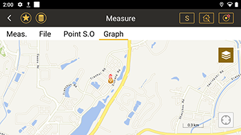
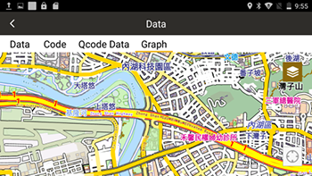
Pic-1 Online Map Pic-2 Uploaded Map
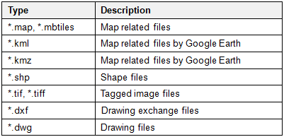
It's available to upload the maps or layers in the below types:

CAD STAKE OUT
With CAD Stake Out, N1 helps to handle the data actively with DWG or DXF files. It’s not necessary to extract the coordinates from CAD any more.
The only thing you need to do is import the CAD files directly to your N1 total station.
More flexible and quicker to stake out a point as you need. Select the detailed elements like points, lines ad features on the layers to staking our or recording the coordinates in bulk.
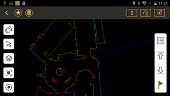
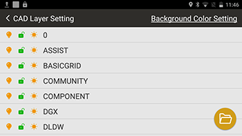
Pic-3 CAD Stake Out Pic-4 Layers

The layers in the field can be froze, locked or closed in CAD layers settings.
View more information on https://www.southinstrument.com/product/details/pro_tid/2/id/186.html


