Unmaned Surface Vehicles
Echo Sounders
Side Scan Sonars
Acoustic Doppler Current Profilers
Total Stations
Electronic Theodolites
Digital Levels
Automatic Levels
Handhelds Distance Meters
Prisms/Tripods/Poles/Staffs...
Mapping Drones & Payloads
UAV Applications
Terrestrial Laser Scanners
LiDARs
SLAM LiDAR
Satellite Imagery
Automatic Deformation Monitoring Systems
Environmental Monitoring Systems
Relevant Sensors
VR Simulated Surveying Training Systems
Auto Steering
Track Geometry Measuring Trolley Systems
Automated Tunnel Scanning & Inspection Systems
Model: PPK aeroPOS software SkyLines
Features
Specification
INTRODUCTION
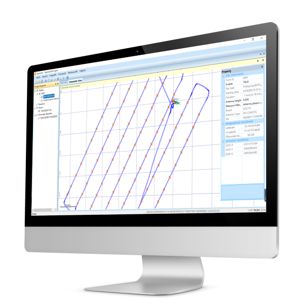
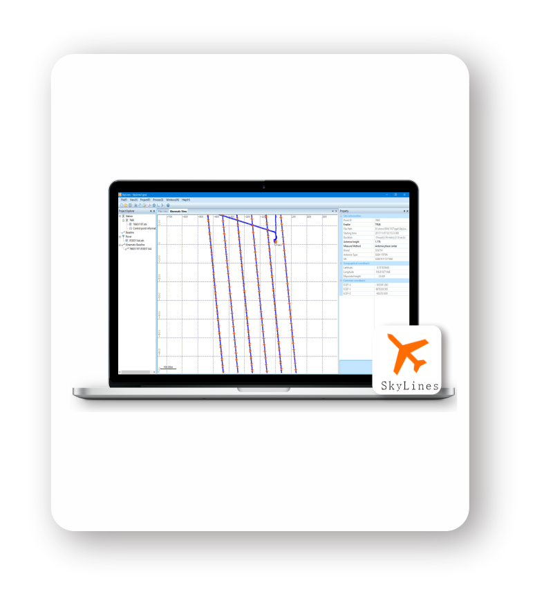
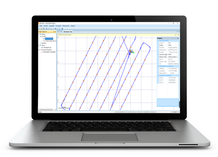
Transforming more tough fieldwork, like GCP (Ground Control Point) measurements, into fast processing is always enjoyable to surveyors. As a specialized GNSS data software kit, SkyLines is engineered to deal with the flight lines and compute precise aerial positional information of drones equipped with an airborne PPK module. Corrected with base observations by post differential algorithm, the high-precision aerial positioning data is just a few mouse clicks away, which makes it more productive in the drone mapping workflow. By using this powerful tool, drone users can obtain highly accurate POS (Positioning & Orientation System) data at centimeter level via post processing and may be independent of ground control points for further adjustment in aerial triangulation.
WORKFLOW
CAPTURE & IMPORT | GEO-REFERENCING & EXPORT | PROCESSING & MAPPING |
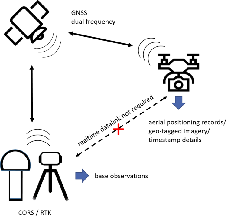
aerial positioning records geo-tagged imagery (.exif/.jpg) timestamp details base observations ephemeric data | centimeter-level POS data geo-referenced imagery | digital surface model digital orthophoto map digital elevation model vector line map oblique 3D model |
WHY PPK ?
PPK, short for Post Processed Kinematic, is a GNSS positioning technique that obtains post differential corrections with carrier phases. Compared with RTK technology, PPK enjoys datalink transmission free, as base station and rover device would just individually store their data records that are post processed after the survey has been completed. This is utilized to improve the aerial positioning accuracy of drones which might find it difficult to obtain RTK fixed solutions during missions especially in case of poor satellite signals or weak datalink transmission. |
FEATURES
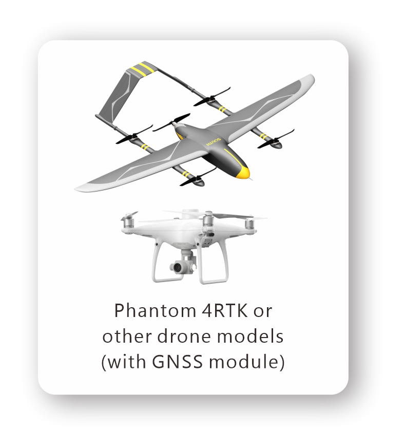
• Applicable for DJI Phantom4RTK or any other drone equipped with GNSS module • Intuitive interfaces and optimized algorithm ready for fast processing • Full constellation options with more operational flexibilities • Observation file timeline display available • Suited to post process both static and kinematic GPS data • Centimeter grade outputs, more reliable than simply aerial RTK positioning results • Supports WGS84 and local coordinate systems both • Simplifies drone survey fieldwork by effectively eliminating GCP measurements • Dongle-free version available for trial use upon request |
PPK Aeropos Software SkyLines |
Satellite System | GPS, GLONASS, Beidou, Galileo |
PPK Accuracy | Horizontal : down to 1 cm + 1 ppm Vertical : down to 1 cm + 1 ppm |
|
Input Format | RINEX, STH, SP3 | |
Output Format | TXT | |
OS | Windows 7 or above | |
RAM | 4GB | |
GPU | not required | |
Recommended Base Station | Galaxy G1/G1plus/G6, etc. |
6857