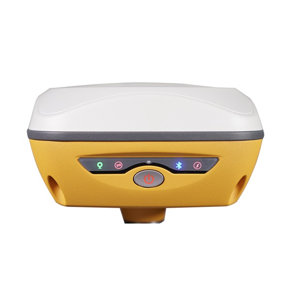
INSIGHT V1

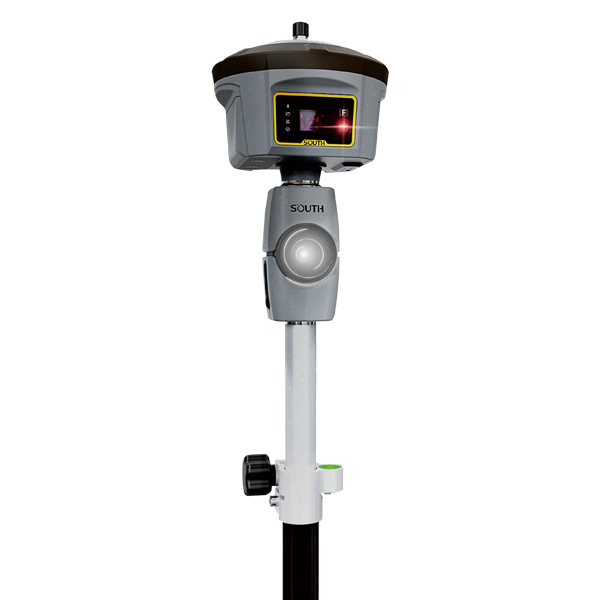
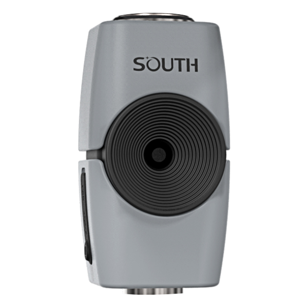
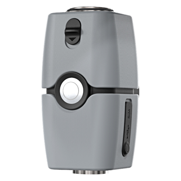
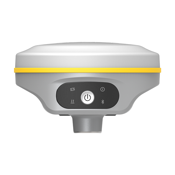
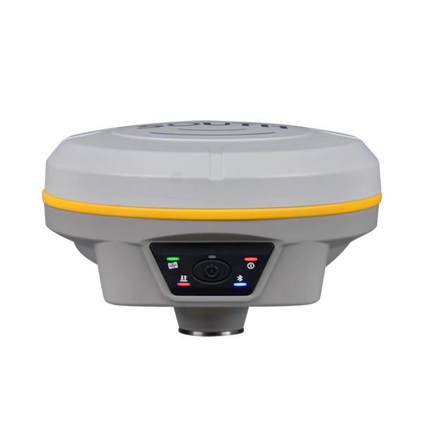
    SOUTH brand-new image RTK Insight V1 surveying system consists of Galaxy G6 and image acquisition system which combined with new point positioning technology--Touch. It crosses space obstacles and sweeps measurement blind area by taking three pictures to obtain the target coordinate information.(unreached points with ordinary RTK system)

Model: INSIGHT V1

Features

Sweep signal blind area

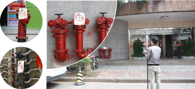
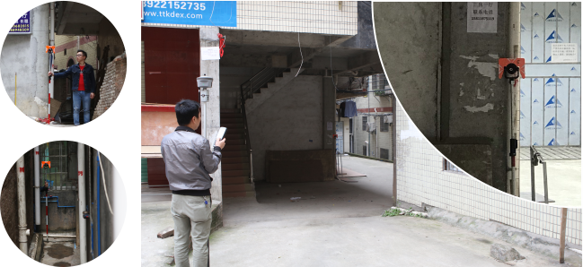
Like an eye of RTK receiver, V1 is able to reach the point in blind area where there is no or weak satellite signals, such as crack between buildings, or special point under eave.

V11

Visual extension
Combines with GNSS RTK positioning and image acquisition technology, and adopts coordinate information of RTK, V1  is able to extend point coordinate to where without satellite signals, effectively expanding  working area .

V12

Avoid risk measurement
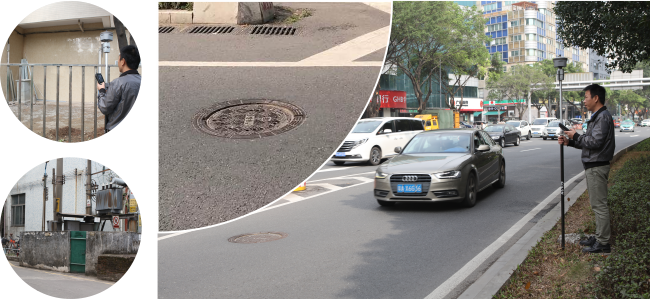
Rely on its keen senses of sight, V1 captures precision point coordinate away from that dangerous place, like the point locates at the middle of the road, or the point close to high-tension transformer, ensures the safety of surveyors while they are working.

V13


Specification

Positioning accuracy Horizontal 5cm RMS
Vertical 10cm RMS
Range ≤20m
Image Size <10M
Format JPEG
Processor SOUTH online cloud server /SGO processing
Camera 1300 MegaPixel
Electrical Power consumption Work: 1.6W-2W Standby: 0.88W
Battery life Over 10 hours
Charging Support rapid charge
Communication USB Micro USB interface
Wi-Fi 802.11 b/g/n/a 2.4G/5G
SD card Micro SD interface
Physical Memory 16GB
Buttons One-button control
LED Working status, Switching on, Charging, Data
Dimensions 69mm*68mm*132.9mm
Weight 700g
Materials Magnesium alloy
Work temperature -20°C ~ 50°C
Storage temperature -40°C ~ +80°C
Waterproof/Dustproof IP67

Note: all information above is subject to change without any prior notice.

7630

Related products