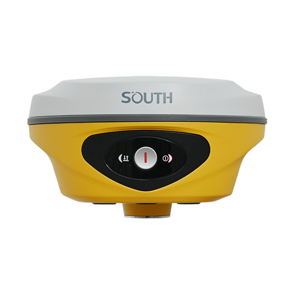
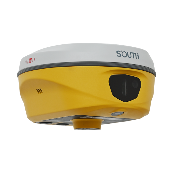
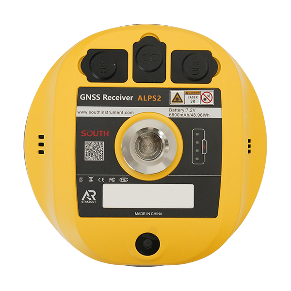
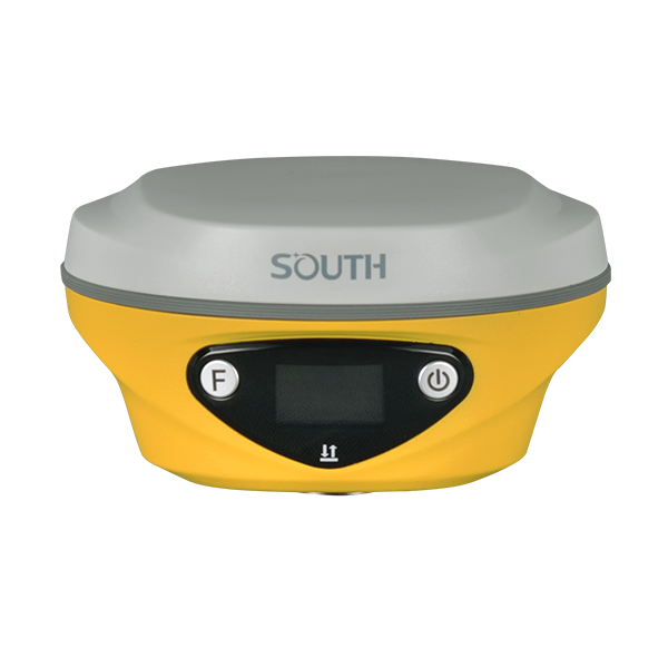
ALPS2

    Model: ALPS2

    Download:

    ALPS2 Brochure

    Features

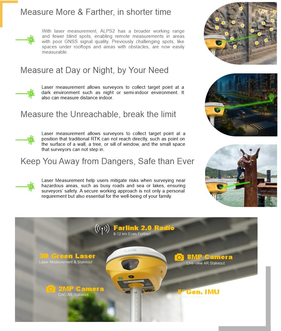
    Laser Measurement

    — Four Advantages to Add Your Productivity


    ALPS2

    Specification

    GNSS Features Channels 1698
    GPS L1C, L1C/A, L2C, L2P(Y), L5
    GLONASS G1, G2, G3
    BDS B1I, B2I, B3I, B1C, B2a, B2b
    GALILEOS E1, E5a, E5b, E6, AltBOC*
    SBAS L1*
    IRNSS L5*
    QZSS L1, L2C, L5*
    MSS L-Band Reserve
    Positioning Output Rate 1Hz~20Hz
    Initialization Time < 10s
    Initialization Reliability > 99.99%
    Positioning Precision Code differential GNSS positioning Horizontal: 0.25 m + 1 ppm RMS
    Vertical: 0.50 m + 1 ppm RMS
    GNSS Static Horizontal: 2.5 mm + 0.5 ppm RMS
    Vertical: 3.5 mm + 0.5 ppm RMS
    Static (Long Observation) Horizontal: 2.5 mm + 0.1 ppm RMS
    Vertical: 3 mm + 0.4 ppm RMS
    Rapid Static Horizontal: 2.5 mm + 0.5 ppm RMS
    Vertical: 5 mm + 0.5 ppm RMS
    PPK Horizontal: 3 mm + 1 ppm RMS
    Vertical: 5 mm + 1 ppm RMS
    RTK(UHF) Horizontal: 8 mm + 1 ppm RMS
    Vertical: 15 mm + 1 ppm RMS
    RTK(NTRIP) Horizontal: 8 mm + 0.5 ppm RMS
    Vertical: 15 mm + 0.5 ppm RMS
    SBAS Positioning Typically<5m 3DRMS
    RTK Initialization Time 2~8s
    IMU Accuracy 8mm+0.7 mm/°tilt
    IMU Tilt Angle Optimal accuracy within 60°
    Hardware Performance Dimension 134mm(φ)×79mm(H)
    Weight 860g (battery included)
    Material Magnesium aluminum alloy shell
    Operating Temperature -45℃~+75℃
    Storage Temperature -55℃~+85℃
    Humidity 100% Non-condensing
    Waterproof/Dustproof IP68 standard
    Shock/Vibration Withstand 2 meters pole drop onto the cement ground naturally
    Power Supply
    6-28V DC, overvoltage protection
    Battery Inbuilt 7.4v 6800mAh rechargeable Lithiumion
    battery
    Battery Life 25h (static)
    20h (rover mode, optimal condition)
    Communications I/O Port 5-PIN LEMO interface (external power port + RS232)
    Type-C interface (charge+OTG+Ethernet)
    UHF antenna interface
    Internal UHF 2W Radio Tx&Rx
    Frequency Range 410-470MHz
    Communication Protocol Farlink, Trimtalk, SOUTH
    Communication Range Typically 8-10km with Farlink protocol, (12-15km in optimal condition)
    Bluetooth Bluetooth 5.0, Bluetooth 3.0/4.2 standard, Bluetooth 2.1 + EDR
    NFC Communication Support
    Modem 802.11 b/g/n standard
    Data Storage/Transmission Storage 16GB SSD internal storage
    Support automatic cycling storage
    Support external USB storage (OTG)
    The customizable sample interval is up to 20Hz
    Data Transmission Plug and play mode of USB data transmission
    Supports FTP/HTTP data download
    Data Format Static data format: STH, Rinex2.01, Rinex3.02, etc.
    Differential data format: RTCM 2.1, RTCM
    2.3, RTCM 3.0, RTCM 3.1, RTCM 3.2
    GPS output data format: NMEA 0183, PJK
    plane coordinate, Binary code
    Support: VRS, FKP, MAC, fully support
    NTRIP protocol
    Sensors IMU Built-in IMU, calibration-free, 60 Degreest
    Camera Front Camera: 8MP, Bottom Camera: 2MP, (Live View AR stakeout)
    Laser 3R green laser, 30m working range
    Electronic Bubble Controller software can display electronic bubble, checking leveling status of the carbon pole in real-time
    Thermometer Built-in thermometer sensor, intelligent temperature control technology, monitoring and adjusting the receiver temperature
    User Interaction Operating System Linux
    Buttons Single button
    Indicators Data and power indicators
    Web Interaction With access to Web UI via WiFi or USB connection, users can monitor the receiver status and change the configurations
    Voice Guidance Chinese/English/Korean/Spanish/Arabic/Portuguese/Russian/Turkish/French/Italian
    Secondary Development Provides secondary development package, and opens the OpenSIC observation data format and interaction interface definition
    Cloud Service The powerful cloud platform provides online services like remote management, firmware updates, online registers, etc.

    *Reserve for future upgrade. Remarks: Measurement accuracy and operation range might vary due to atmospheric conditions, signal multipath, obstructions, observation time, temperature, signal geometry and number of tracked satellites. Specifications subject to change without prior notice

    243

    Related products