News

  • Company News
  • Case Stories
  • Events

Contact

  • Contact Info
  • Dealer List

Language

  • Chinese
  • English
Register Login
  • HOME
  • PRODUCTS

      GNSS

    • RTK Systems

    • Data Controllers

    • CORS

    • External Radios

    • GIS Handhelds

    • Software Kits

      MARINE SURVEYING

    • Unmaned Surface Vehicles

    • Echo Sounders

    • Side Scan Sonars

    • Acoustic Doppler Current Profilers

      CONVENTIONAL EQUIPMENTS

    • Total Stations

    • Electronic Theodolites

    • Digital Levels

    • Automatic Levels

    • Handhelds Distance Meters

    • Prisms/Tripods/Poles/Staffs...

      REMOTE SENSING

    • Mapping Drones & Payloads

    • UAV Applications

    • Terrestrial Laser Scanners

    • LiDARs

    • SLAM LiDAR

    • Satellite Imagery

      MONITORING SOLUTIONS

    • Automatic Deformation Monitoring Systems

    • Environmental Monitoring Systems

    • Relevant Sensors

      VR SURVEY TRAINING

    • VR Simulated Surveying Training Systems

      PRECISION AGRICULTURE

    • Auto Steering

      RAIL ENGINEERING

    • Track Geometry Measuring Trolley Systems

      TUNNEL ENGINEERING

    • Automated Tunnel Scanning & Inspection Systems

      GIS

    • Mapping Softwares

    • Solutions

  • APPLICATIONS
    • Overview

    • LiDAR, UAV, GIS ...

    • Marine and hydrographic survey

    • Monitoring

    • GNSS

    • Engineering Products

    • Company

  • COMPANY
    • Company profile

    • Factory Facilities

    • Overseas Network

    • Global Activities

    • News

  • DOWNLOADS
    • Brochures

    • Catalogues

    • Manuals

    • Programs

    • Firmware

  • Overview
  • LiDAR, UAV, GIS ...
  • Marine and hydrographic survey
  • Monitoring
  • GNSS
  • Engineering Products
  • Company
  • HOME
  • APPLICATIONS
  • Promotional Video
  • South SurvStar Tutoriales
  • Knowledge Base
  • Russian Video
  • Spanish Video
  • French Video

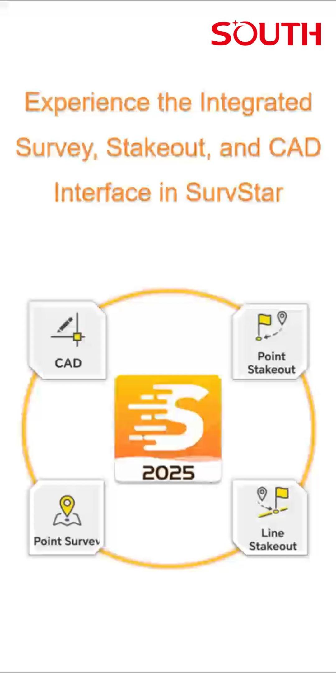
  • Experience the Integrated Survey, Stakeout, and CAD Interface in SurvStar

    Experience the Integrated Survey, Stakeout, and CAD Interface in SurvStar

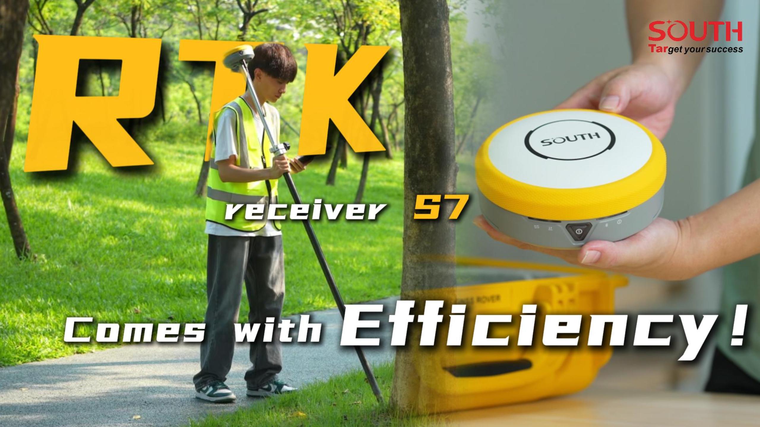
  • A removable dual-battery RTK receiver (S7) available now

    A removable dual-battery RTK receiver (S7) available now

  • ALPS1 Laser Measurement Accuracy Verification

    ALPS1 Laser Measurement Accuracy Verification

  • ALPS1 Laser Function

    ALPS1 Laser Function

  • ALPS1 Unboxing Video

    ALPS1 Unboxing Video

  • How to use measurement function to measure trees

    How to use measurement function to measure trees

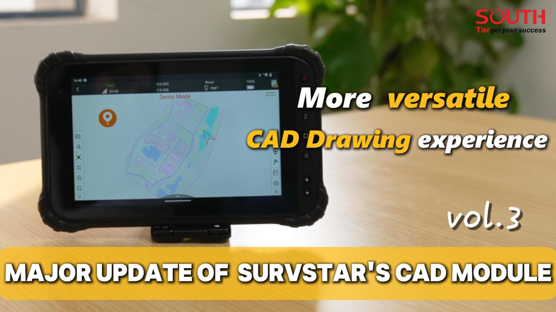
  • Major Update Of Survstar's Cad Module Vol.3 SurvStar CAD brings you a more versatile CAD drawing experience

    Major Update Of Survstar's Cad Module Vol.3 SurvStar CAD brings you a more versatile CAD drawing experience

  • Major Update Of Survstar's Cad Module Vol.2 A Faster CAD Stakeout of SurvStar

    Major Update Of Survstar's Cad Module Vol.2 A Faster CAD Stakeout of SurvStar

  • Major Update Of Survstar's Cad Module Vol.1 Quick look of the better CAD overall experience

    Major Update Of Survstar's Cad Module Vol.1 Quick look of the better CAD overall experience

First

<

1234567 > Last
您的浏览器不支持 video 标签。

0%

      COMPANY

    • Company Profile
    • Overseas Network
    • Factory Facilities
    • News

      CONTACT US

    • Contact Info
    • Dealer List

      PRODUCTS

    • GNSS
    • MARINE SURVEYING
    • CONVENTIONAL EQUIPMENTS
    • REMOTE SENSING
    • MONITORING SOLUTIONS
    • VR SURVEY TRAINING
    • PRECISION AGRICULTURE
    • MACHINE CONTROL
    • RAIL ENGINEERING
    • TUNNEL ENGINEERING
    • GIS

      APPLICATIONS

    • LiDAR, UAV, GIS ...
    • Marine and hydrographic survey
    • Monitoring
    • GNSS
    • Engineering Products
    • Company

      DOWNLOADS

    • Brochures
    • Catalogues
    • Manuals
    • Programs
    • Firmware

      FOLLOW US

    © 2025 South Surveying & Mapping Technology CO., LTD. All rights reserved 粤ICP备16097590号Powered by Mainweb

    NEWSLETTER

    Please input your name and e-mail for the subscriptions.

    Submit now * Valid E-mail Preferred.