Unmaned Surface Vehicles
Echo Sounders
Side Scan Sonars
Acoustic Doppler Current Profilers
Total Stations
Electronic Theodolites
Digital Levels
Automatic Levels
Handhelds Distance Meters
Prisms/Tripods/Poles/Staffs...
Mapping Drones & Payloads
UAV Applications
Terrestrial Laser Scanners
LiDARs
SLAM LiDAR
Satellite Imagery
Automatic Deformation Monitoring Systems
Environmental Monitoring Systems
Relevant Sensors
VR Simulated Surveying Training Systems
Auto Steering
Track Geometry Measuring Trolley Systems
Automated Tunnel Scanning & Inspection Systems
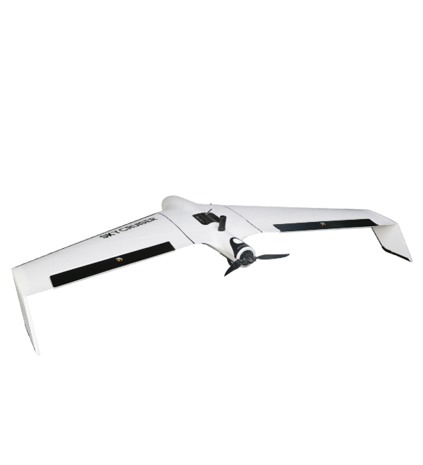
Model: Standard Version A22 / Professional Version A22-Plus
Features
Specification
SkyCruiser A20 series understands 100% what surveyors really need…
What shall be considered before purchasing a mapping drone?
Easy operation
Automated control
Output quality
Survey-grade demand
Cost efficiency
Responsive support
A professional-level drone made for survey-grade mapping applications...
Simple assembly and quick hand launch
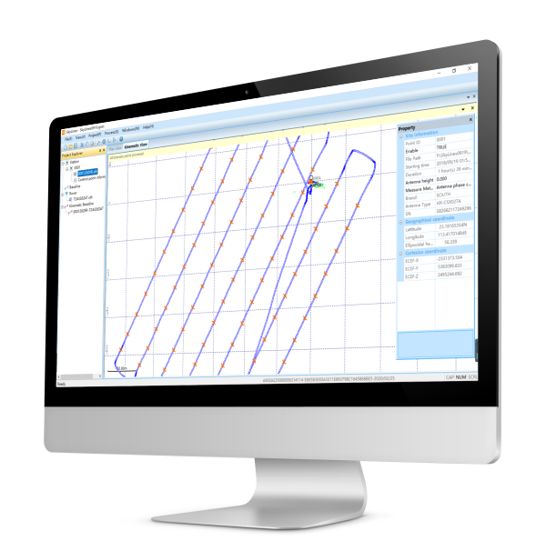
Humanized GCS software with interactive interfaces
Excellent flight attitude due to moderate drone weight
Quality imageries to generate survey-grade outputs
Reasonable costs versus high work efficiency
Trusted local dealer and renowned survey manufacturer standby
OUTPUTS
APPLICATIONS
Aircraft System | aircraft type | fixed wing |
wingspan | 150 cm | |
take-off weight | A22: 1.45 kg; A22-Plus: 1.55 kg | |
power supply | lithium polymer battery | |
battery power | 10000mAh, 14.8V | |
body material | industrial EPO foam | |
Flight Performance | take-off method | hand launch/ automatic |
landing method | typical, precise parachute landing; optional, belly landing | |
maximum ceiling | 4000 m | |
working height | 70-940 m AGL (Above Ground Level) | |
cruising speed* | typical 20 m/s (72 km/h) | |
endurance | not less than 59 minutes, best up to 80-85 minutes (customized unit only) | |
single flight range* | approx. 80-90 km | |
single flight coverage* | -- | |
landing space | typical 20 x 6 m; recommended 50 x 10 m | |
Operation Performance | base observations | integrated with radio datalink device |
radio datalink | Frequency Hopping Spread Spectrum (FHSS) | |
control frequency | 915 MHZ | |
radio communication range | typical, 5-10 km; maximum 30 km | |
weather limit | 10 m/s (36 km/h), Beaudfort scale 6, light rain | |
operating temperature | -10℃ to 45℃ | |
Ground Control | auto return | -- |
drone tracking | APP display via pre-installed GPS tracker |
Note1: all aspects marked with * are determined by weather conditions and manual operations in practice. Note2: all information above is subject to change without any prior notice.
4930