Unmaned Surface Vehicles
Echo Sounders
Side Scan Sonars
Acoustic Doppler Current Profilers
Total Stations
Electronic Theodolites
Digital Levels
Automatic Levels
Handhelds Distance Meters
Prisms/Tripods/Poles/Staffs...
Mapping Drones & Payloads
UAV Applications
Terrestrial Laser Scanners
LiDARs
SLAM LiDAR
Satellite Imagery
Automatic Deformation Monitoring Systems
Environmental Monitoring Systems
Relevant Sensors
VR Simulated Surveying Training Systems
Auto Steering
Track Geometry Measuring Trolley Systems
Automated Tunnel Scanning & Inspection Systems
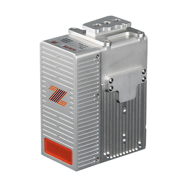
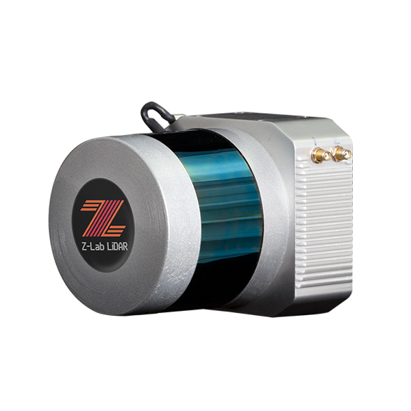
Model: Z-Lab LiDAR-eco Pro
Features
Specification
Z-Lab LiDAR-eco | Model Code | LiDAR-eco Pro |
Application Mode | UAV-based recommended | |
Field of View | 81.7° (H.) × 25.1° (V.) | |
Net Weight (w/o camera) | approx. 1.59 kg | |
Dimensions (LxWxH) | 77 x 115 x 208 mm | |
Power Consumption | 20-50 W | |
Input Voltage | DC 12-30 V | |
Operating Temperature | 0℃ up to +40℃ | |
Storage Temperature | -20℃ up to +50℃ | |
Constellation Support | GPS/Glonass/Beidou | |
Gyroscope Bias Stability | ±3 deg/hr | |
Gyroscope Range | ±490 deg/sec in all axis | |
Accelerometer Range | ±16 g in all axis | |
Scanner Type | solid state sensor | |
Laser Safety | Class 1 (IEC 60825-1:2014) | |
Laser Wavelength | 905 nm | |
Scanner Ingress Protection | IP 67 | |
Scanner Precision | optimal 2 cm ① | |
Absolute Accuracy | down to 5cm, typical 10-20 cm ② | |
Angular Resolution | <0.05 deg (1σ) | |
Measuring Range | max. 450 m @ 80% reflectivity | |
Scanning Height | typical 10-200 m, best below 100 m | |
Number of Echoes | max. 2 returns | |
Measurement Rate | 240,000 pts per sec (single return); 720,000 pts per sec (dual return) |
The specification above will be subject to change without prior notice. Note: ① It was obtained in an environment of 25℃ with a target of 80% reflectivity 20 meters away. The result might vary under different actual conditions. ② The performance will vary depending on the flight altitude, pulse reflectivity, vegetation density, terrain feature, etc.
8877