AcuteLas Series LiDAR SAL-1500

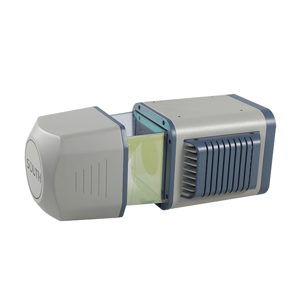
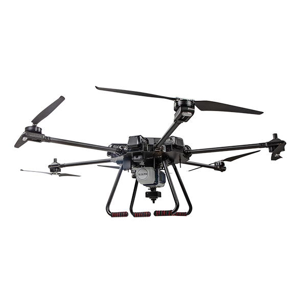
    • 2 million points per second • 3.89 kg net weight • 1,500 m scanning range max. • Multi-echo technology • Ready to mount onto multi-rotor, VTOL fixed-wing, SUV, etc. • LiDAR Setting Integrated with Flight Planning

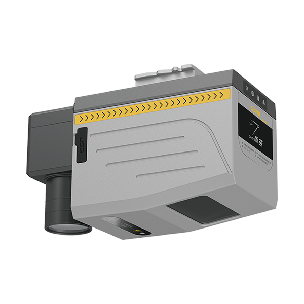
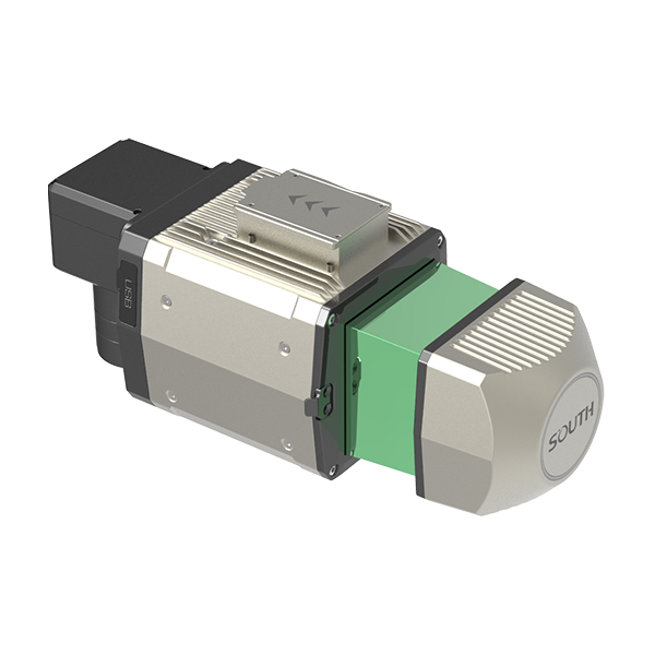
Model: LiDAR SAL-1500

Features

SAL+1500 (V.202207)

Applications

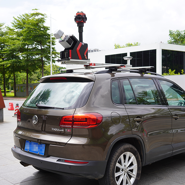
SUV-based Application

(Distance Measurement Indicator, as an option)

SAL-1500


Automobile Laser Scanning Fieldwork Control Software - AcuteLas Control

1. controls the startop of the LiDAR device
2. supports KML file import for route planning 
3. supports distance measurements in route planning
4. locates the LiDAR device realtime 
5. displays and stores the LiDAR device trajectory 
6. displays the trajectory quality realtime in different colors 
7. displays the drive mileage for the current mission
8. displays the orientation details (pitch, roll, yaw) of LiDAR device
9. displays the number and constellation of tracked satellites
10. displays memory capacity and current internal memory status 
11. supports LiDAR device parameters modification 


1


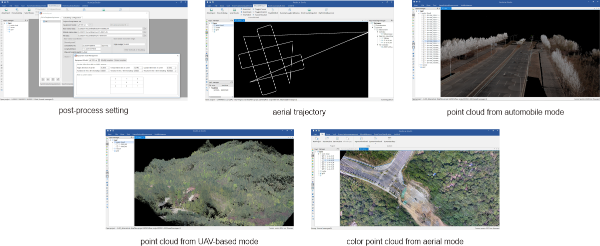
Automobile Laser Scanning Post-processing Software - AcuteLas Studio  

1. supports trajectory processing and cropping

2. supports trajectory data integrated with laser dots data

3. compatible to base observation data from all types GNSS receivers 

4. supports trajectory data export

5. supports colorized point cloud generation from both aerial and automotive data acquisition

6. support both manually mosaic and automatic mosaic function of adjacent station data  

7. supports mass point cloud data loading and browsing 

8. supports point cloud cropping by aerial strips in trajectory file 

9. supports 2 types of GNSS processing (ENZ/NED) for point cloud generation 

10. supports point cloud generation for different countries and different regional coordinate systems

11. supports 7-parameter calculations, and point cloud coordinate transformation with 7-parameter

12. supports point cloud data loading and browsing up to 200GB

13. supports point cloud cropping and merging by points number and distance, point cloud cropping data size setting, point cloud filtering ratio setting

14. supports adding geo-locations (longitude, latitude) in batch for images

15. supports point cloud filtering by bounding volume, GPS time, etc.

16. supports point cloud rendering by elevation, intensity, time, category, edge enhancing, RGB (show colorized point cloud), and rendering method could be saved

17. supports 3D measurements like point, length, horizontal distance, angle, slope, area, etc.

18. supports direct measurements of point density, point cloud thickness 


2

Specification

LiDAR SAL-1500 Product Type mobile LiDAR system
Series AcuteLas
Application Mode UAV-based/aircraft-based/SUV-based
Power Consumption 25 W
Input Voltage 18-48 V
Temperature Range operating -20~+40℃; storage -20~+50℃
Dimension (LxWxH) 297x180x120 mm
Net Weight (w/o camera) 3.89 kg

Ingress Protection Rating
IP 64, dustproof and splash-proof
Device Access ethernet cable connection or web UI
Device Control computer interface or remote controller display
Mission Parameters Setting available in mobile carrier platform (eg. UAV flight planning software)
Internal Memory 128 GB, expandable upon request (eg. 1 TB)
External Memory SD card slot available
Part I: Laser Scanner Sensor Type lightweight, pulse, survey-grade
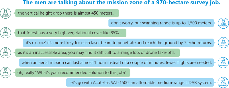
Measuring Range (natural targets p≥80%) max. 1500 m
Max. Effective Measurement Rate 2,000,000 points per second
Accuracy / Precision 15 mm @150 m / 20 mm
Speed of Data Acquisition complies with 30-80 km/h
Field of View 360° full range measurement performance
Laser Product Classification Class 1 Laser Product (according to IEC 60825-1:2014)
Laser Wavelength 1500 nm
Laser Beam Divergence 0.3 mrad
Echo Return max. 7 returns for each emitted laser beam
Part II: Position & Orientation System (POS) Multi-constellation Tracking GPS L1/L2, Glonass G1/G2, Beidou B1/B2
Data Refresh Rate 600 Hz / 100 Hz
Accelerometer Range -20 g to +20 g
Angular Input Range -400°/s to +400°/s
Heading Accuracy (post processed) ≤ 0.010°
Roll/Pitch Accuracy (post processed) ≤ 0.005°
Positioning Accuracy (post processed) H. ≤1 cm; V. ≤2 cm
Part III: Imaging Sensor Fitting Mode aerial mode
automobile mode
Integration Mode aerial mode: attached to LiDAR externally
automobile mode: attached to LiDAR externally
Sensor Type aerial mode: customized DSLR, full framer
automobile mode: 360° spherical camera system
Sensor Model aerial mode: South S61
automobile mode: FLIR Ladybug5+
Imaging Type aerial mode: orthophotography, RGB
automobile mode: panorama, RGB
Imaging Output aerial mode: DOM (Digital Orthophoto Map)
automobile mode: panorama Image
Mixed Output aerial mode: colorized point cloud
automobile mode: colorized point cloud
Resolution aerial mode: 61 MP
automobile mode: 30 MP (5 MP*6 sensors)
Focal Length aerial mode: 28 mm
automobile mode: /
Acquisition Rate aerial mode: /
automobile mode: approx. 10 images per second
Weight aerial mode: 500 g
automobile mode: 3 kg
Power Supply aerial mode: external, via UAV platform
automobile mode: external, via customized power bank
Triggering Mode aerial mode: triggered by LiDAR device
automobile mode: independent
Data Storage aerial mode: inbuilt SSD 256 GB
automobile mode: connected to laptop for storage

Note: all information above is subject to change without any prior notice.

7566

Related products