Unmaned Surface Vehicles
Echo Sounders
Side Scan Sonars
Acoustic Doppler Current Profilers
Total Stations
Electronic Theodolites
Digital Levels
Automatic Levels
Handhelds Distance Meters
Prisms/Tripods/Poles/Staffs...
Mapping Drones & Payloads
UAV Applications
Terrestrial Laser Scanners
LiDARs
SLAM LiDAR
Satellite Imagery
Automatic Deformation Monitoring Systems
Environmental Monitoring Systems
Relevant Sensors
VR Simulated Surveying Training Systems
Auto Steering
Track Geometry Measuring Trolley Systems
Automated Tunnel Scanning & Inspection Systems
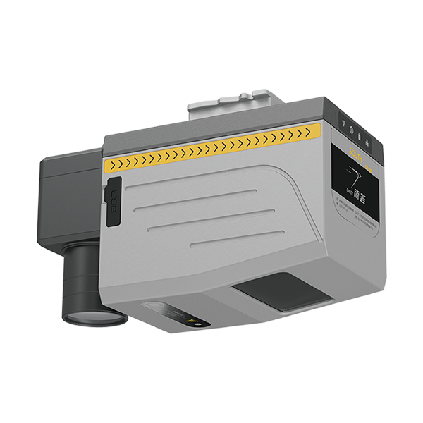
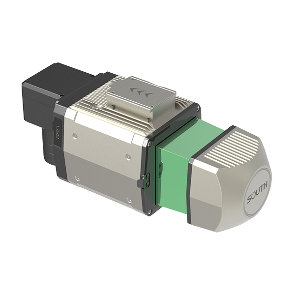
Model: SA130
Features
Specification
General | product name | SA130 |
dimensions | 164*102*138.3 mm | |
weight | 2 kg | |
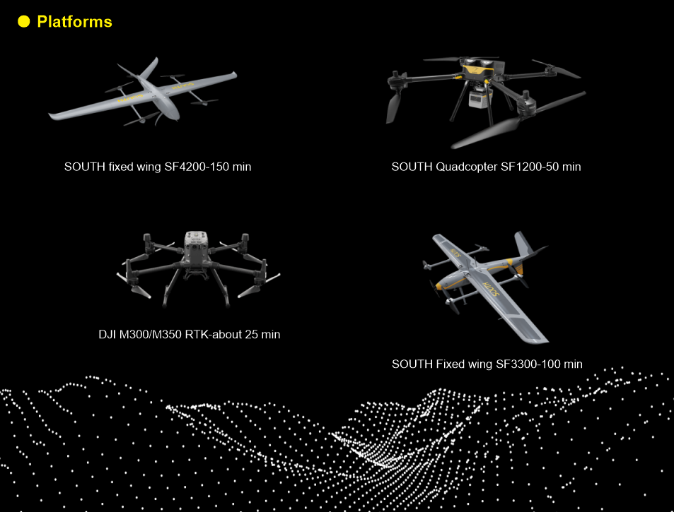
supported aircraft | SOUTH SF1200/SF3300/SF4200 Matrice 300 RTK/350 RTK |
|
working temperature | -20℃~+55℃ | |
IP | IP64 | |
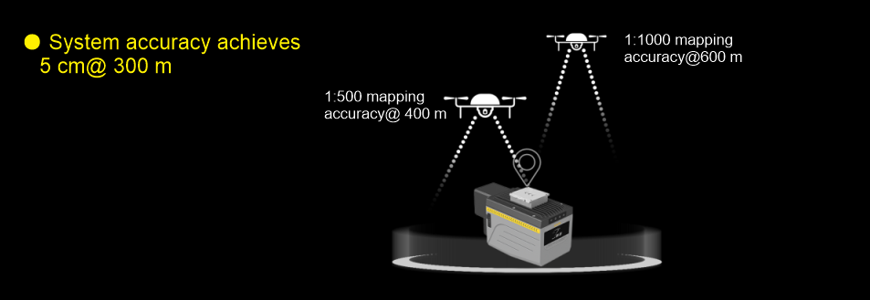
System Performance | system accuracy | 5 cm@300 m (Horizontal/Vertical) |
storage | 256 G Flash Drive Disk | |
control mode | auto control by Ground control station or remote control by Laptop/ Mobile phone APP | |
LiDAR | laser scanner | 400 scan-line |
principle | pulse | |
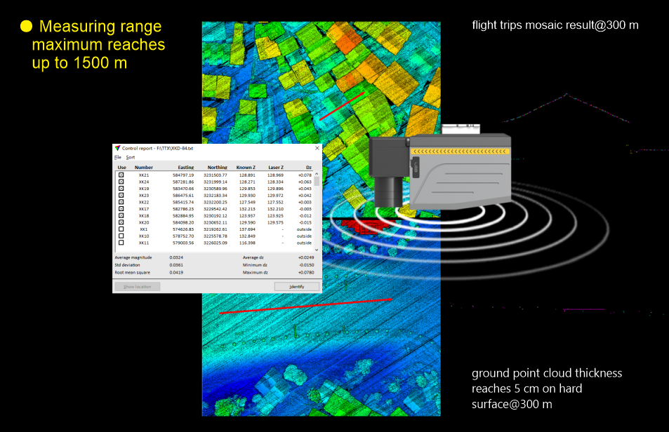
maximum measuring range | 1500 m | |
minimum detection range | 1 m | |
measuring accuracy | 15 mm(single)/ 5 mm(repeat) | |
measurement rate | max.2000,000 points/s | |
scanning FOV | 100° | |
laser safety class | Class 1 (IEC 60825-1: 2014) eye-safe | |
angular resolution | 0.001° | |
laser wavelength | 1550 nm | |
echo | multi-echo | |
Inertial Navigation System | posture | Roll/Pitch: 0.006°,Yaw: 0.019° |
positioning accuracy | horizontal: 0.01 m; vertical: 0.02 m | |
IMU Update Frequency | 500 Hz | |
RGB Mapping Camera | resolution | 45 MP |
focal length | 18 mm | |
sensor size | 36*24 mm(8192*5460) | |
pixel size | 4.4 μm | |
photo format | JPEG | |
video format | MP4 | |
Data collection software(GCS) | Fly2MAP Pilot | |
Trajectory processing software | AcuteLas Studio software | |
LiDAR data post-processing software | AcuteLas Studio software |
Note: all information above is subject to change without any prior notice.
224