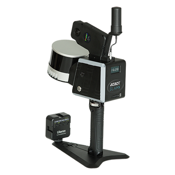
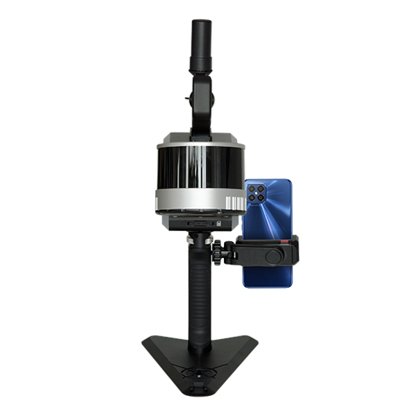
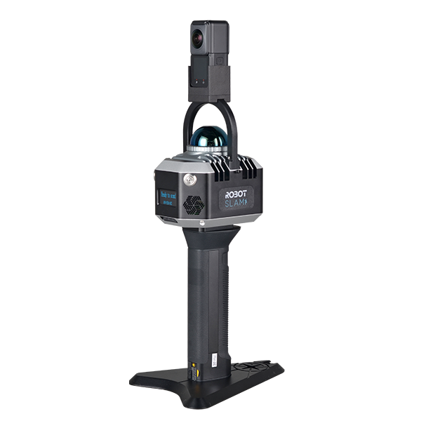
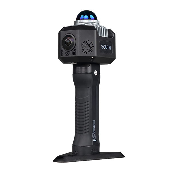
RobotSLAM Handheld 3D Laser Scanner

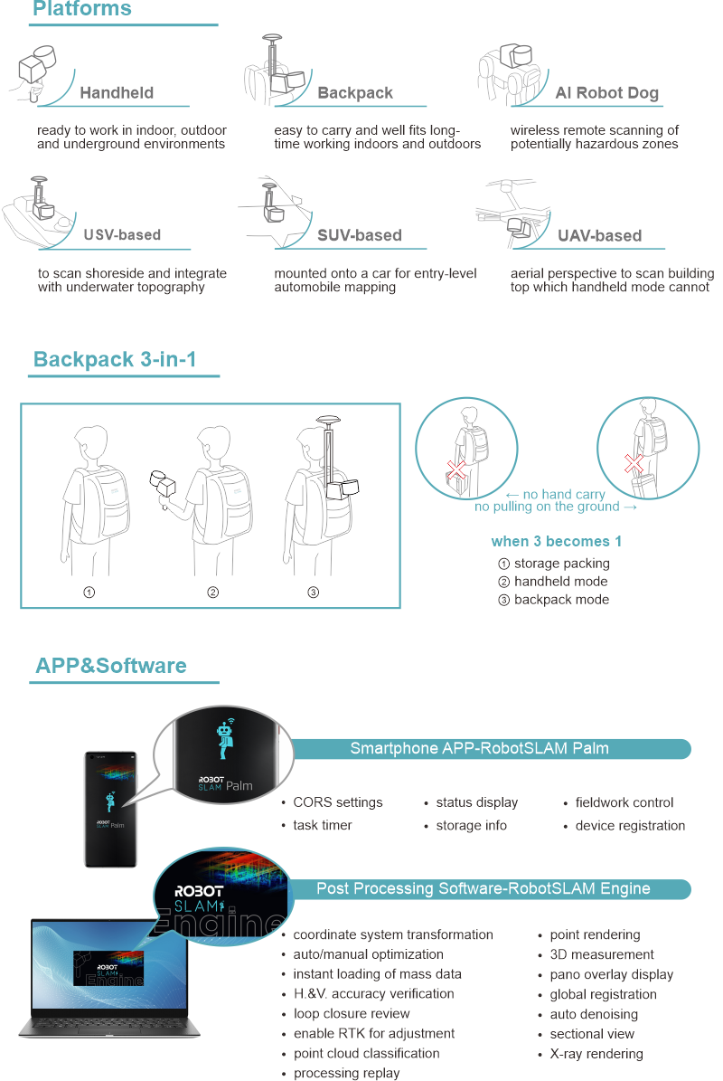
    direct geo-referencing amazing cm-level accuracy backpack 3-in-1 magic abundant software functions

Model: RobotSLAM basic, RobotSLAM standard, RobotSLAM professional

Features

web Features

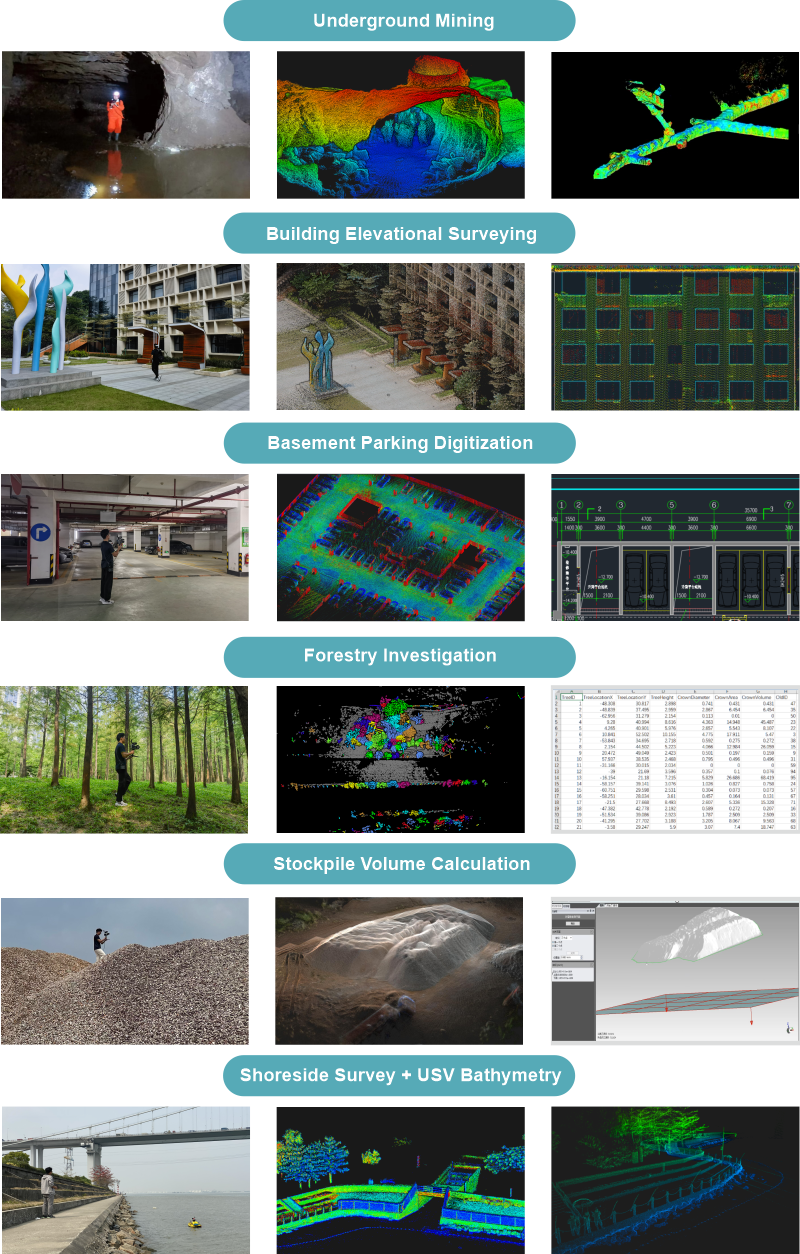
Applications

web Applications

Specification

RobotSLAM Model RobotSLAM basic, RobotSLAM standard, RobotSLAM professional
Laser Scanner 16-channel①
Measurement Rate Max. 320,000 points/sec①
Laser Safety Class Class 1(IEC 60825-1:2014) eye-safe
Laser Wavelength 905 nm
Echo Mode 8-bit, dual return
Measuring Range 0.05-120 m
Scanning Rate 10 Hz
Scanning FOV 360°x 285°
Horizontal Angle Resolution 0.18° (10 Hz)
Vertical Angle Resolution
Relative Accuracy best up to 1 cm
GNSS Differential② GPS+Glonass+Beidou+Galileo multi-constellation tracking
Signal Tracking② 555 channels
RTK Positioning Accuracy② RMS 1 cm+1 ppm
CORS Access② nano SIM card slot built in
Positioning Data Refresh Rate② max. 100 Hz
Absolute Accuracy② best up to 3-5 cm
Scanning Principle laser sensor 360°mechanical rotation
Accumulated Mileage Error 0.1%-0.2% (under the condition without loop closure)
Housing Material aviation-grade aluminum, with high protection level and anti-inference capability
Weight 1.9 kg (handheld only)
Dimension 262x230x146 mm
System Consumption 20 w
Power Supply dual external Li-ion battery, hot swappable
Battery Unit DC 14.4V, 6875mAh, 99Wh
Endurance single battery ≥2 hours, dual batteries ≥4 hours
IP Protection IP 54
Temperature -20~65℃ (operating), -40~85℃ (storage)
Device Connection Wi-Fi or Ethernet cable
Data Storage built-in SSD, 512GB (extendable upon request); SD card (removable), 128GB
Data Download via Ethernet cable, WiFi or SD card
Panoramic Camera 2-lens, fisheye, 360°, image pixels 18 MP, video pixels 5.7k
Software Package RobotSLAM Palm (smartphone APP), RobotSLAM Engine (PC)
Processing Method post-processing on PC
Process Time approx. 1-2 times of data acquisition

Note: ① to expect higher point rate like 640,000 points/sec max., 32-channel laser sensor is also available upon request, and that’s RobotSLAM Plus series. ② GNSS differential performance is only applicable to the standard and professional versions. In outdoor scenes with moderate satellite signals coverage, it is recommended to activate GNSS RTK for positioning, which may help much to eliminate control points record and measurement.

6142

Operational video

Related products