SKYCRUISER FLYme

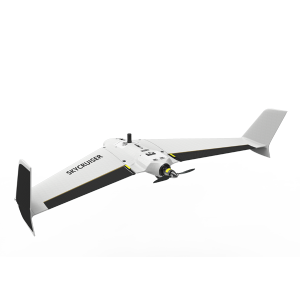
    ● Intuitive pre-flight checklist and Fly-Safe settings ● 42.4 MP imaging sensor, 35mm Zeiss lens ● Quick hand launch and precise landing control

Model: FLYme

Download:

FLYme Brochure

Features

A Typical SURVEYOR-ORIENTED Mapping Drone


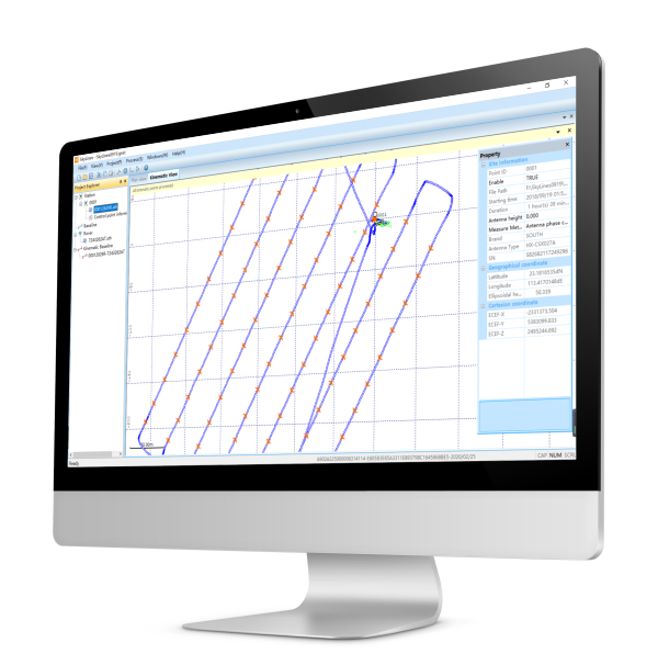
Why surveyor-oriented?   FLYme is specifically made for professional aerial mapping.

Worried about drone crash or drone loss?   FLYme is particularly designed for flight safety control.  

Which ranges to perfectly use for?   A variety of applications include…


FLYme

Specification

Aircraft System aircraft type fixed-wing
wingspan 150 cm
take-off weight 3.5 kg (including camera and drone battery)
power supply lithium polymer battery, one unit
battery power 7000 mAh, 6S, 22.2V
body material industrial EPO foam
Flight Performance take-off method typical, hand launch; optional, catapult launch
landing method typical, precise parachute landing; optional, belly landing
maximum ceiling 4000 m
working height typical 120-1400 m
cruising speed* typical 20 m/s (72 km/h)
endurance not less than 59 minutes, best up to 90 minutes (upon customization)
single flight range* maximum 92 km
single flight coverage* maximum 60 sq.km (6,000 ha) @ GSD 20cm
landing space precise landing control within 6 m radius
Operation Performance base observations integrated with radio datalink device
radio datalink Frequency Hopping Spread Spectrum (FHSS)
control frequency 1W, 915 MHz (869 MHz or 2.4 GHz optional)
radio communication range typical, 5-10 km; maximum 30 km
weather limit beaudfort scale 6, 10.8-12.7 m/s
operating temperature -10℃ to 50℃
Ground Control auto return upon indications of low battery, high temperature, heavy wind, 30sec radio disconnection and imaging failure
drone tracking APP display via pre-installed GPS tracker

Note1: all aspects marked with * are determined by weather conditions and manual operations in practice. Note2: all information above is subject to change without any prior notice.

5688

Related products