Unmaned Surface Vehicles
Echo Sounders
Side Scan Sonars
Acoustic Doppler Current Profilers
Total Stations
Electronic Theodolites
Digital Levels
Automatic Levels
Handhelds Distance Meters
Prisms/Tripods/Poles/Staffs...
Mapping Drones & Payloads
UAV Applications
Terrestrial Laser Scanners
LiDARs
SLAM LiDAR
Satellite Imagery
Automatic Deformation Monitoring Systems
Environmental Monitoring Systems
Relevant Sensors
VR Simulated Surveying Training Systems
Auto Steering
Track Geometry Measuring Trolley Systems
Automated Tunnel Scanning & Inspection Systems
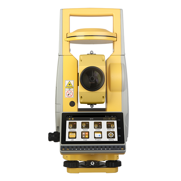
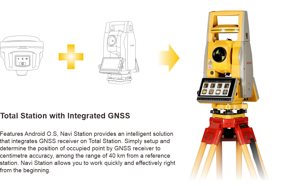
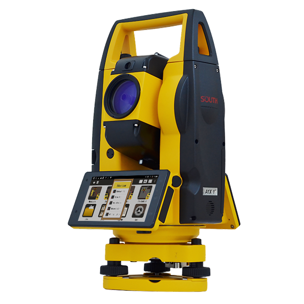
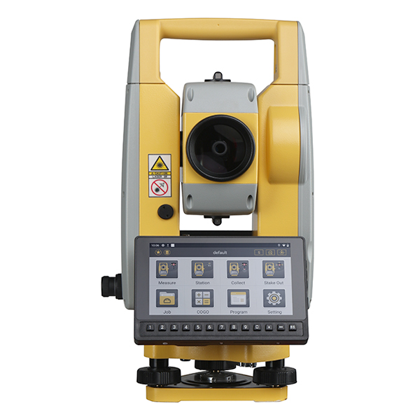
Model: Navi Station
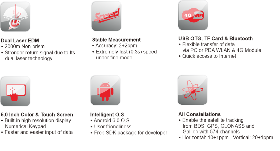
Features
Specification
FREELY POSITION
Simply Setup the Station Wherever You Want
Distance Measurement with Reflector |
Range *1 | 5000m |
Accuracy | ±(2+2ppmxD)mm | |
Measure Interval | Fine: 0.3s, Tracking: 0.1s | |
Distance Measurement without Reflector |
Range *2 | 2000m |
Accuracy | ±(3+2ppmxD)mm | |
Measure Interval | 0.3-3s | |
Angle Measurement | Accuracy | 2” |
Measure Method (HZ/V) | Absolute Continuous, Diametrical | |
Diameter of Encoder Disk | 79mm | |
Display Resolution | 0.1” | |
Compensation | Liquid, Dual Axis Compensation | |
Compensator Setting Accuracy | 1” | |
Compensator Range | ±4' | |
Telescope | Image | Erect |
Tube Length | 154mm | |
Effective Aperture | 45mm (EDM:50mm) | |
Magnification | 30x | |
Resolving Power | 3” | |
Field of View | 1°30' | |
Focusing Range | 1.2m | |
Reticle | Illuminated, 4 Brightness Level | |
Vial | Plate Vial | 30"/2mm |
Circular Vial | 8'/2mm | |
Laser Plummet | Type | Laser Class 2/IEC60825-1; 4 Brightness Level |
Accuracy | ±1.5mm at 1.5M Instrument Height | |
System Config | Operating System | Android 6.0 |
Processor | MT6753 | |
Internal Memory | RAM: 3GB; ROM: 32GB | |
Satellite Signals | Satellite Tracking | 574 Channels |
Signal Tracking | BDS-2: B1, B2, B3 GPS: L1, L2C, L2P, L5 GLONASS: L1, L2 GALILEO: E1, E5a, E5b SBAS |
|
Performance Specification | Time to First Fix | Cold Start <50s, Warm Start <45s |
Signal Re-acquisition | <3s | |
RTK Initiation Time | <15s | |
RTK Initiation Reliability | >99.9% | |
Positioning Precision | Single Point Positioning | Single: H≤3m, V≤5m (1σ, PDOP≤4) |
RTD Surveying | H: ±0.5m, V: ±1.0m | |
Static Surveying | H: ±(2.5mm+1ppm x D), V: ±(5mm+1ppm x D) | |
Real-time Kinematic Surveying | H: ±(10mm+1ppm x D), V: ±(20mm+1ppm x D) | |
Communication | Interfaces | - Serial Port (6-Pin) - Micro SIM - USB Type C (OTG) - TF Card |
Network | 2G 900/1800 3G 2100/900 CDMA BC0 TDSCDMA A/F 4G LTE band1/3/7/38/39/40/41 |
|
Bluetooth | Bluetooth 4.0 | |
WLAN | Dual-Band Single Stream 802.11 a/b/g/n RF for Data Link | |
Microphone / Speaker | Available | |
Others | Display | TFT LCD Screen, Graphics, 720*1280 |
Battery | Lithium-Ion, 7.4V, Operating 8-10 Hours | |
Dimension | 200mm*170mm*350mm, 5.7kgs | |
Protection | IP55 | |
Temperature Range (Operation) | -20°C--+50°C |
* 1: Good conditions (good visibility approx.40km, overcast, twilight) * 2: White objects with high reflectivity (KGC 90%) Note: all information above is subject to change without any prior notice.
16445