Unmaned Surface Vehicles
Echo Sounders
Side Scan Sonars
Acoustic Doppler Current Profilers
Total Stations
Electronic Theodolites
Digital Levels
Automatic Levels
Handhelds Distance Meters
Prisms/Tripods/Poles/Staffs...
Mapping Drones & Payloads
UAV Applications
Terrestrial Laser Scanners
LiDARs
SLAM LiDAR
Satellite Imagery
Automatic Deformation Monitoring Systems
Environmental Monitoring Systems
Relevant Sensors
VR Simulated Surveying Training Systems
Auto Steering
Track Geometry Measuring Trolley Systems
Automated Tunnel Scanning & Inspection Systems
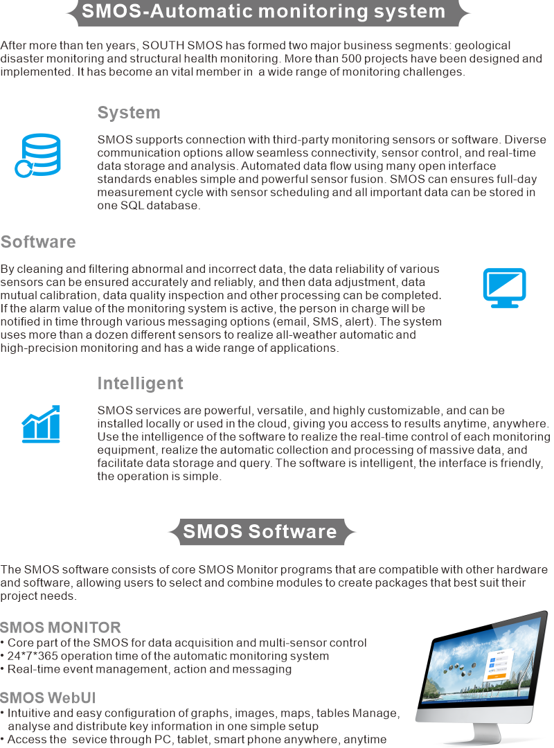
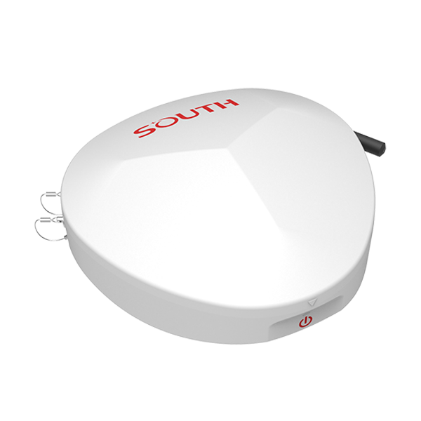
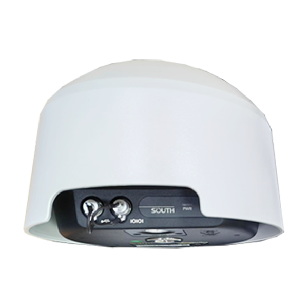
Model: SOUTH SMOS
Features
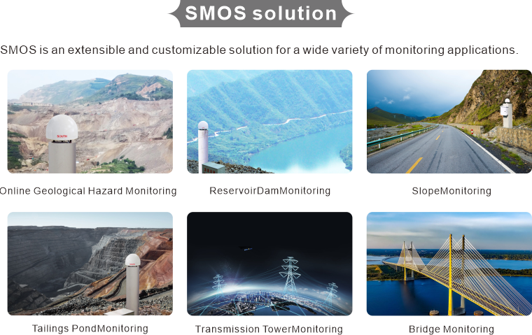
Applications
Specification
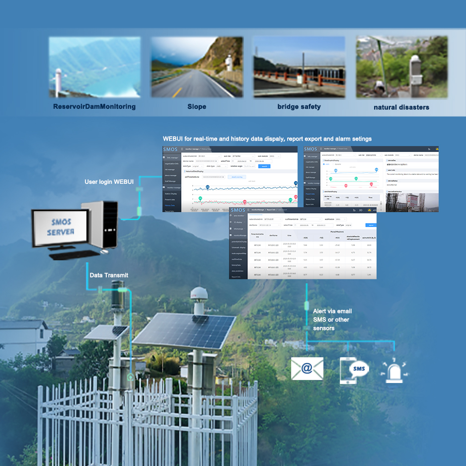
GENRAL | Real-time and stable | 24*7*365 operation time of the automatic monitoring system |
Data storage | All the result data are stored in SQL database,webUI and data process program transfer data via database | |
Customizable | Support many monitoring sensors,support assemble the third part sensos an WebUI function customized | |
Report export and alert setting | Support history data report export,support mutiple alert methods and different value alert settings | |
User management | Support create sub users,and configure sub users with different authority | |
SENSOR SUPPORT | GNSS Sensors | S9,S10,S10mini,Displacement Stack |
Geotechnical sensors | Extensometers, piezometers, strain gauges, inclinometers, thermometers, barometers, rain gauges, etc. | |
Environmental sensors | Meteo, rain gauge, water leve, etc | |
Webcam images | Store webcam images or send them to web UI | |
COMMUNICATION | Multiple connection possibilities | LAN, WLAN, Radio, cable/serial, mobile (GPRS/ UMTS) |
FEATURES | Event management | Notify relevant personnel of warning information by remote network,sound light,SMS, email |
Data Analysis | Real-time analysis of the solution results can be achieved, and historical data of the database can also be used for historical statistical analysis | |
Data push to SMOS webUI | View and analyse data locally or in the cloud using range of graphs, images, maps, tables and deformation scans |
5981